My Corner Online
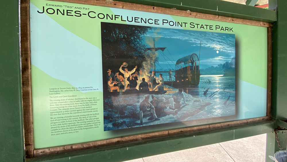
Edward "Ted" and Pat Jones-Confluence Point State Park
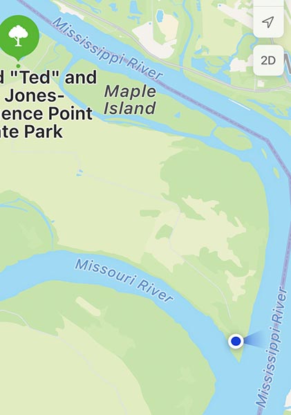
We went back to visit the Edward "Ted" and Pat Jones-Confluence Point State Park on August 12, 2023. The park is located on the north side of the Missouri River at its confluence with the Mississippi River in St. Charles County.
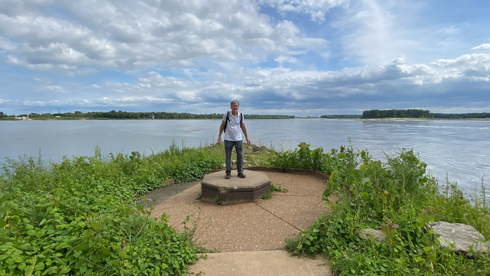
This is the place where the two big rivers meet!
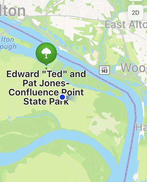
The blue dot above is after we entered the sign onto the gravel road and were crossing the land towards the point. I looked at my GPS to make sure we were headed in the right direction. The below is when we reached the parking lot.
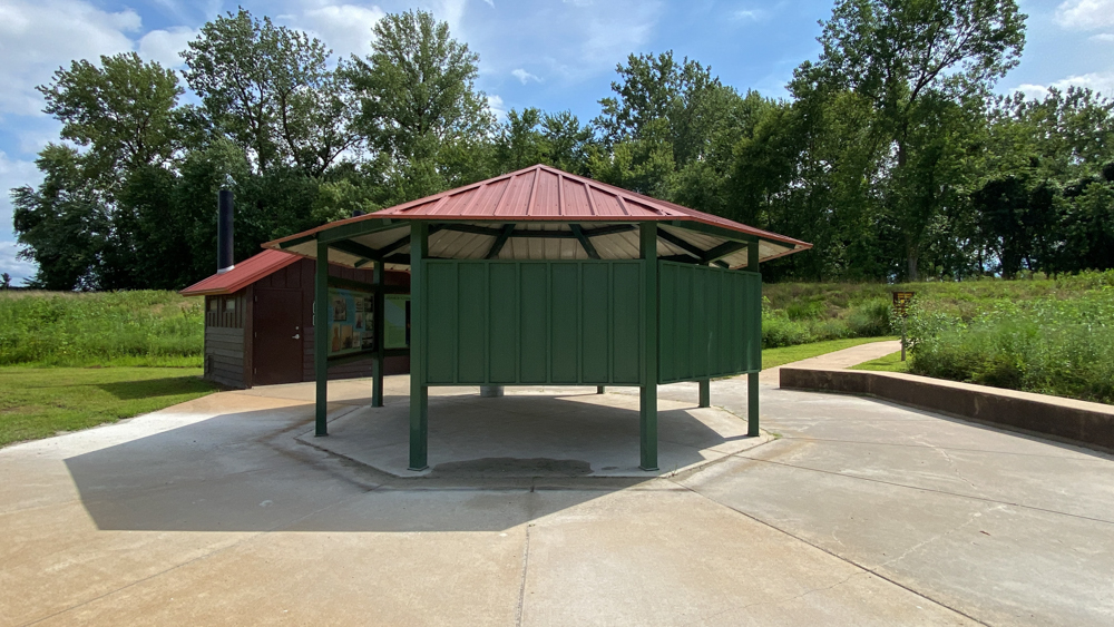
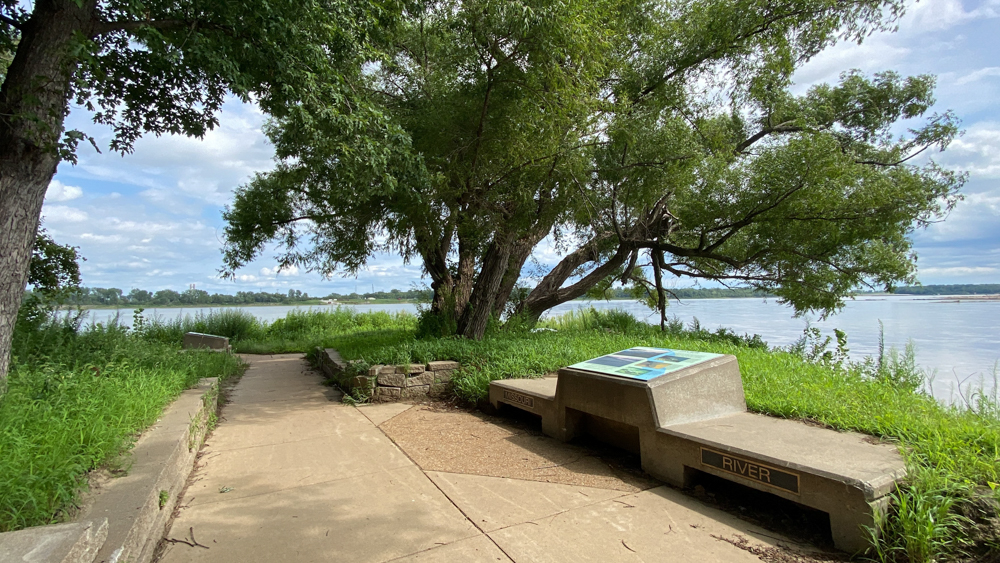
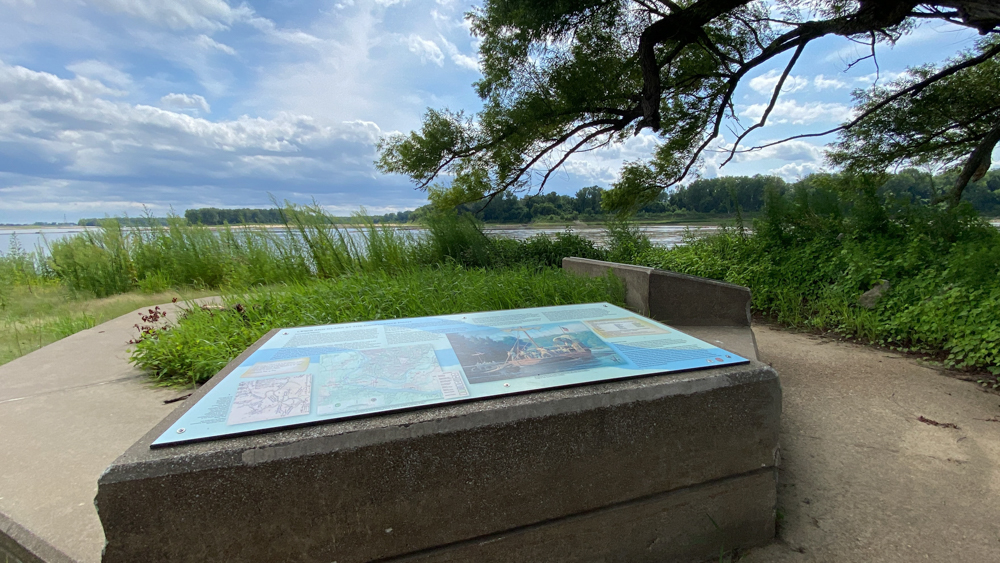
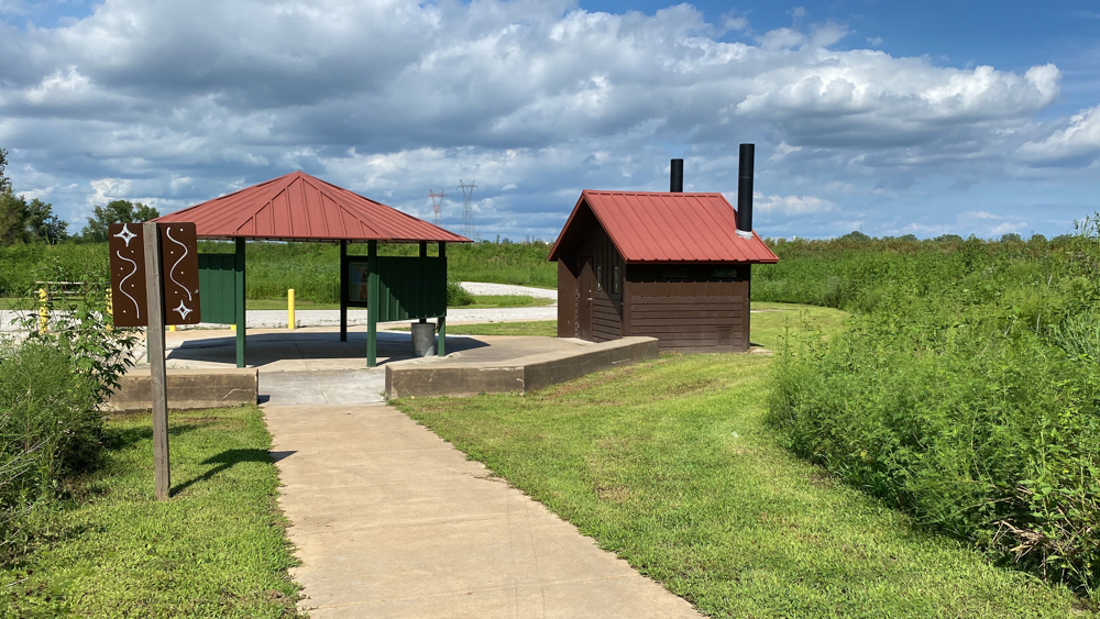
At the beginning of the trail is plenty of information to read and learn.
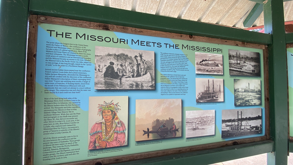
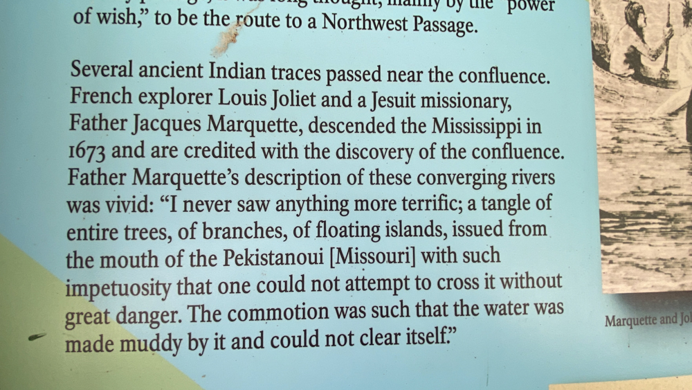
Louis Joliet and Father Jacques Marquette are credited with discovering the confluence in 1673.
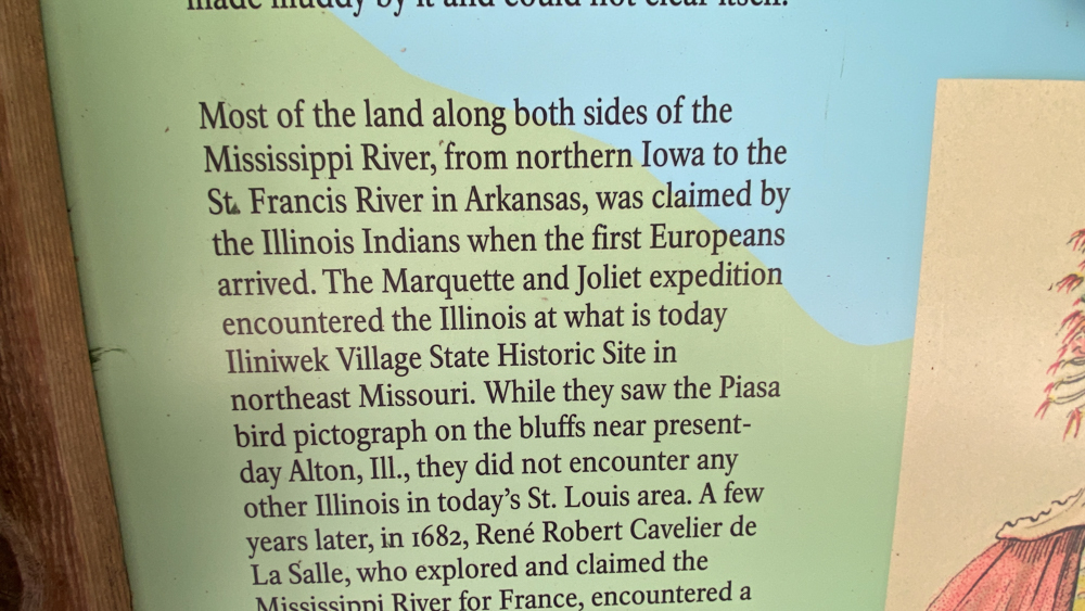
I have at least three Native Americans in my ancestry, all of the Illinois Indians, so I enjoyed reading about them.
I loved this painting! I think I have seen it before in a book, but now I have been here to put the photo into context.
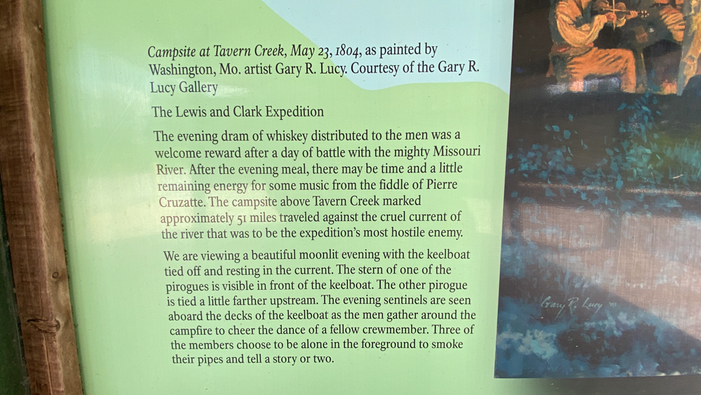
Lewis and Clark were also here.
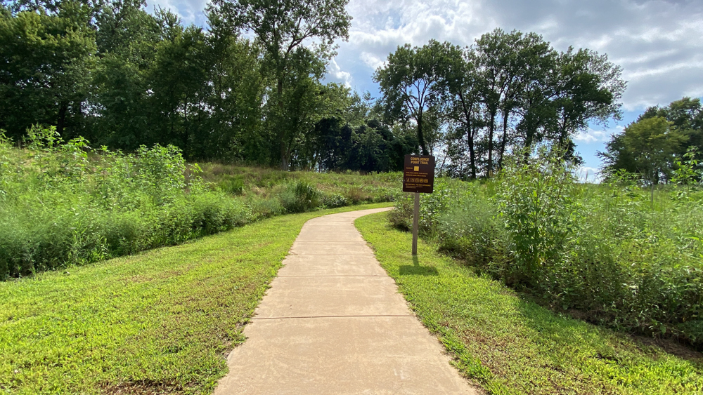
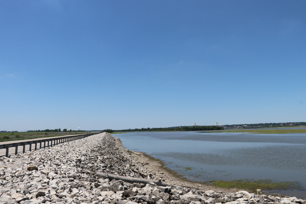
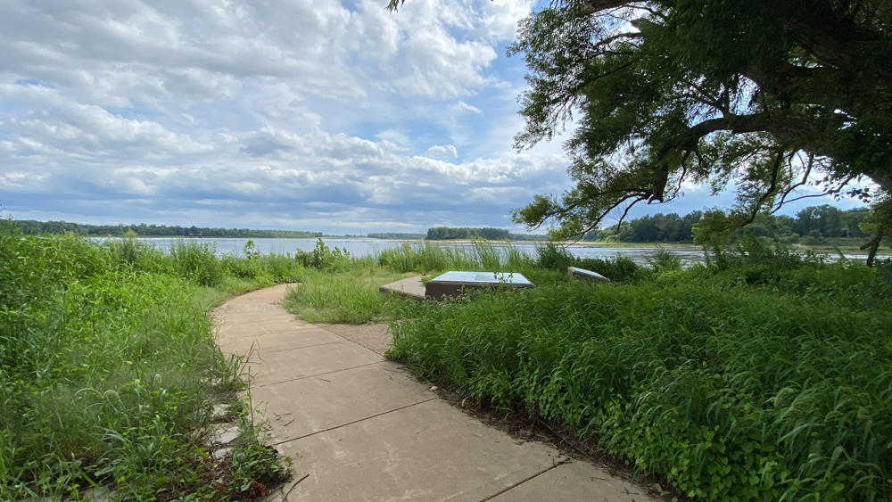
This is the beginning of the trail. It is .3 to the end and .3 back.
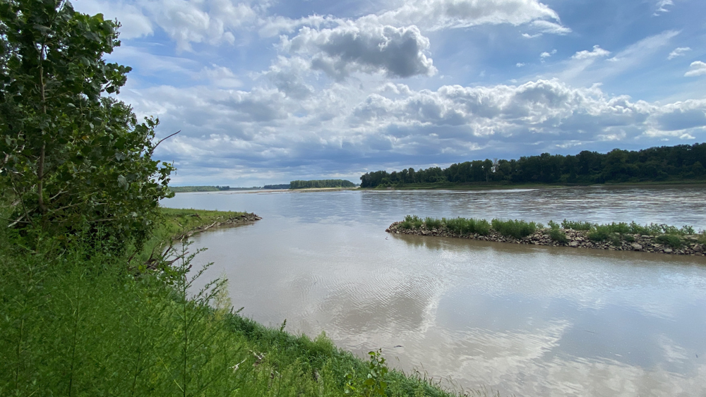
First we see the Missouri River. It actually looked like the trail continued here but had been washed out (see the video above).
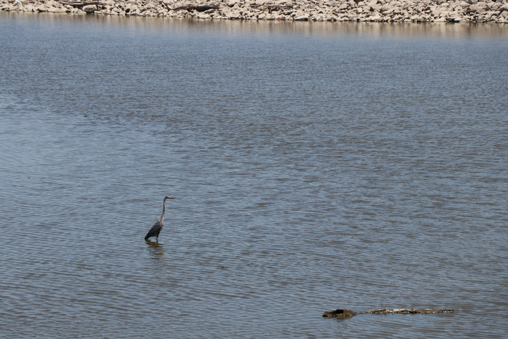
The Missouri River.
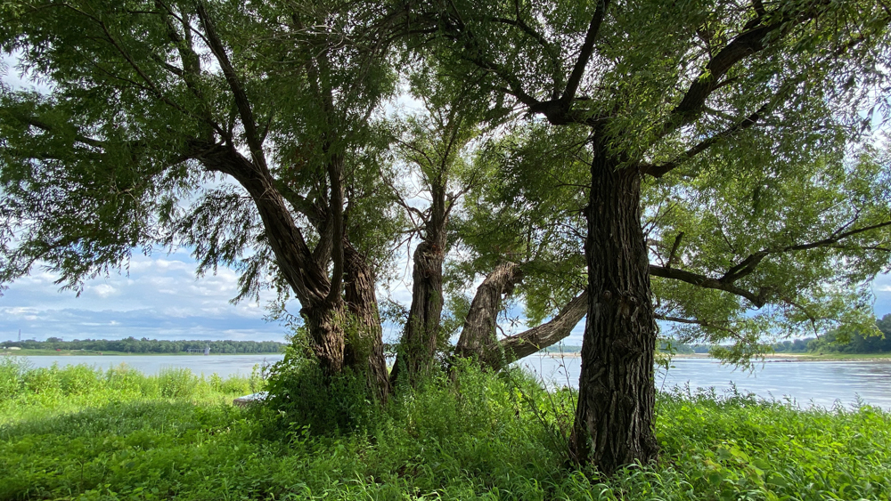
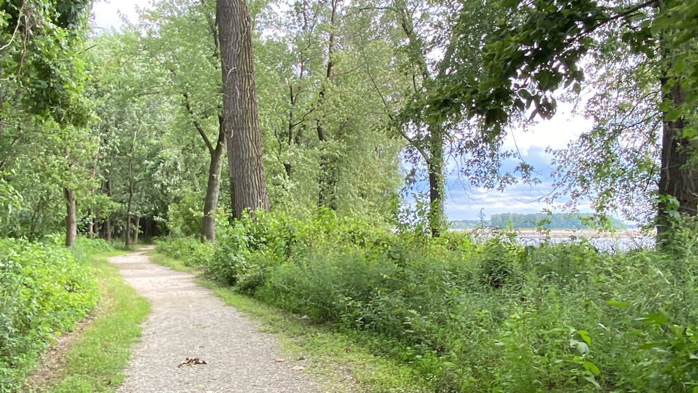
We loved these old trees.
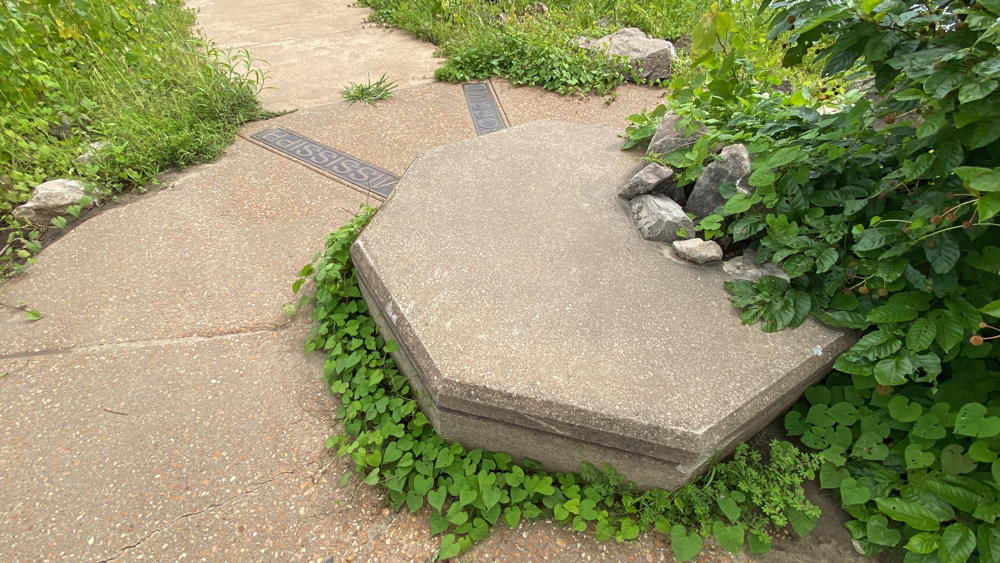
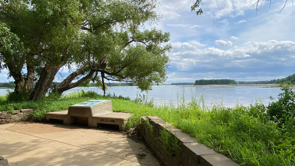
There were several markers to remind you which side was the Missouri River and which side was the Mississippi River.
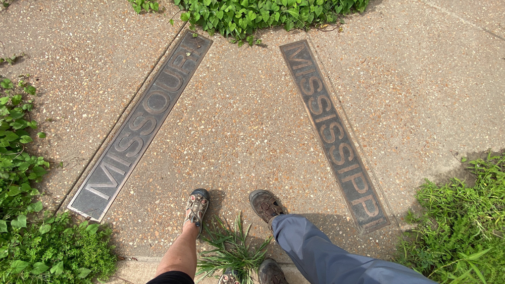
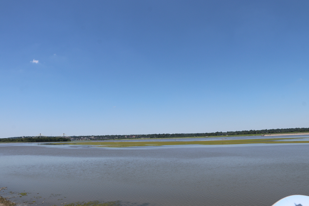
To the right is the Missouri River and to the left is the Mississippi River.
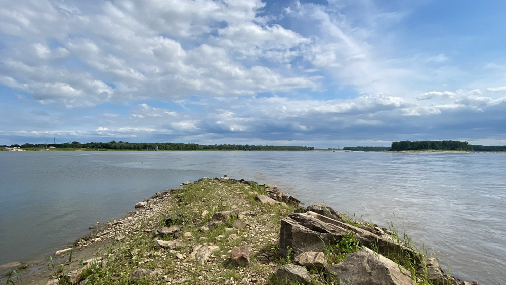
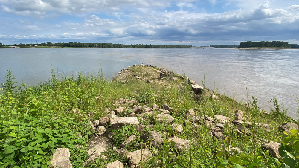
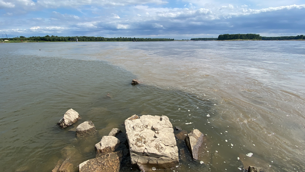
You can actually see a line where the to rivers collide in that they are different colors. It seemed the Missouri River was actually muddier than the Mississippi River which often referred to as the Muddy Mighty Mississippi.
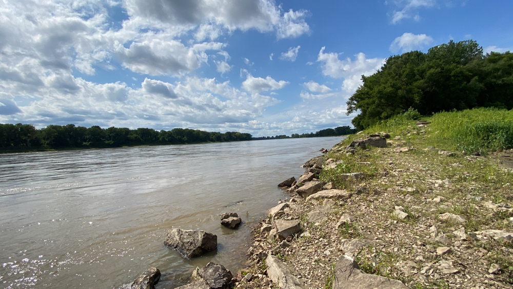
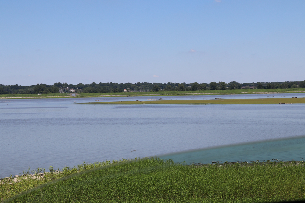
Looking up the Missouri River.
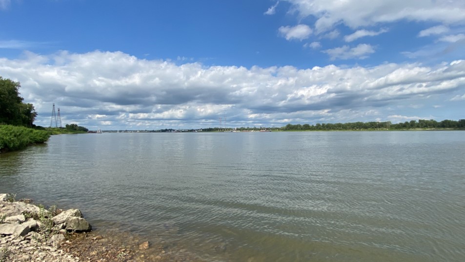
Looking up the Mississippi River. You can see Alton Illinois and the Clarke Bridge in the distance.
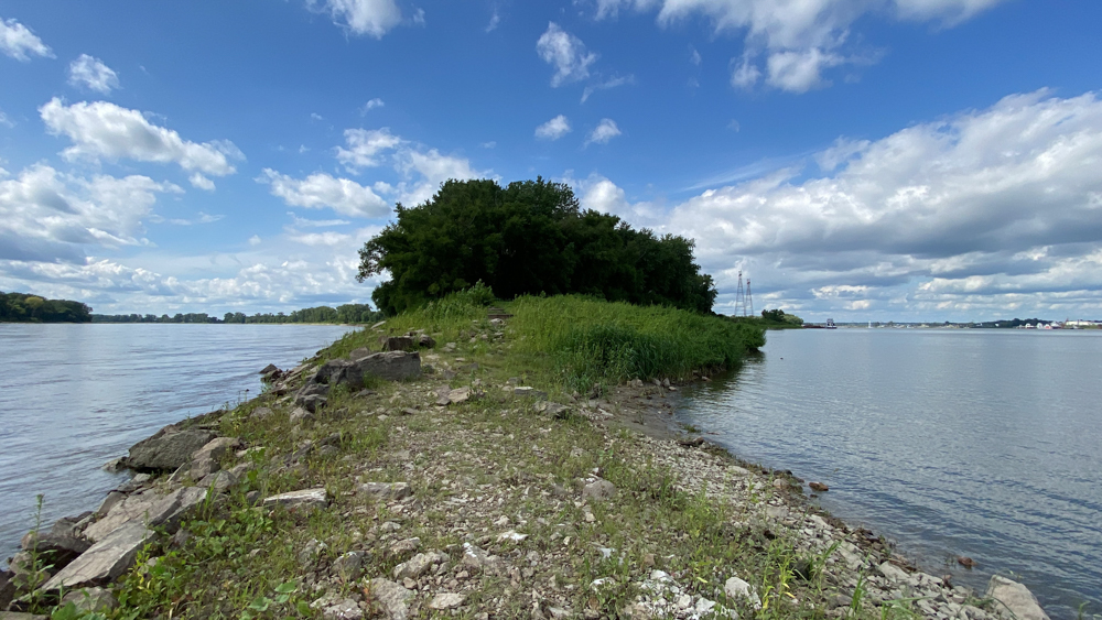
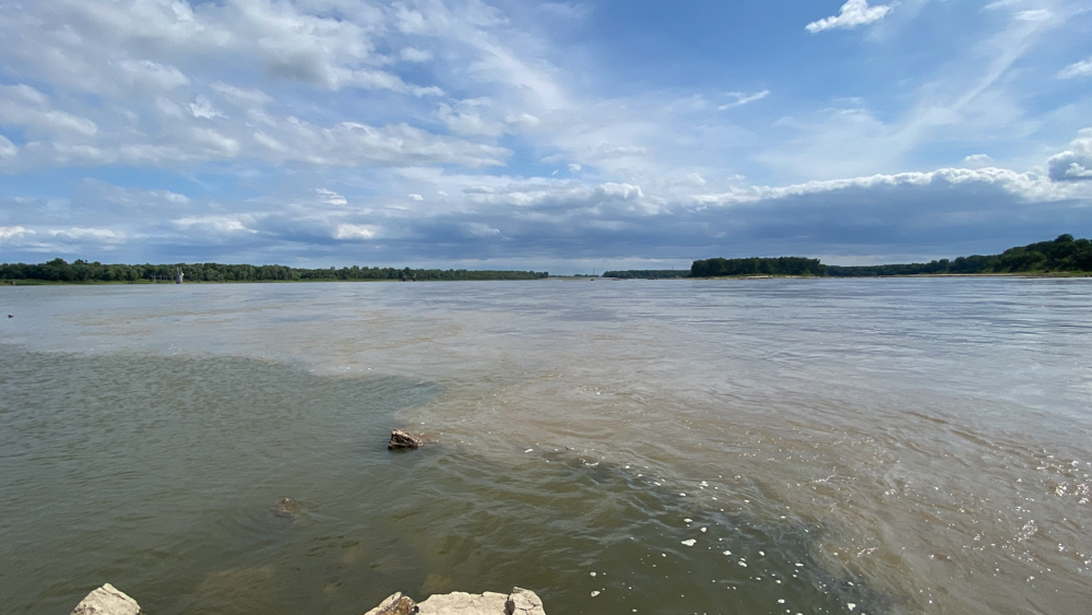
When we turned around it was a surprising shot of both rivers! Don't forget to do a 360!
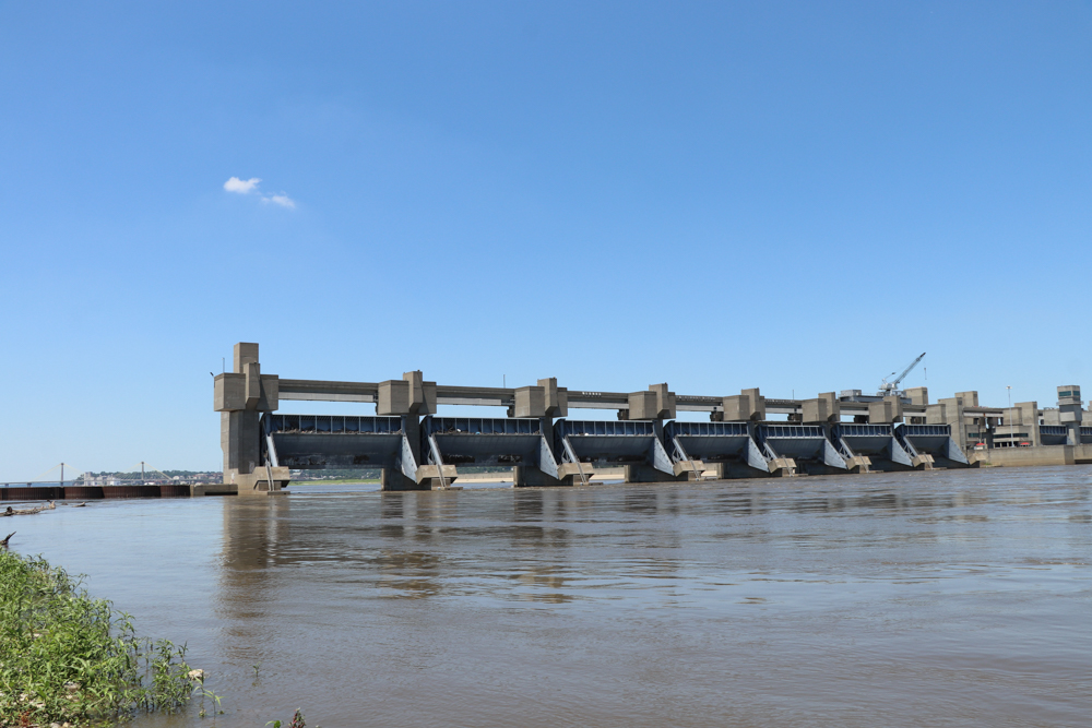
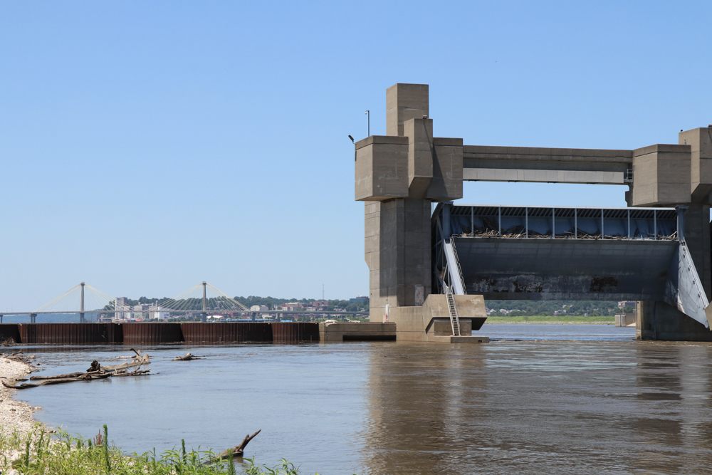
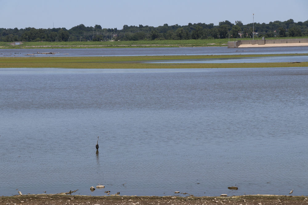
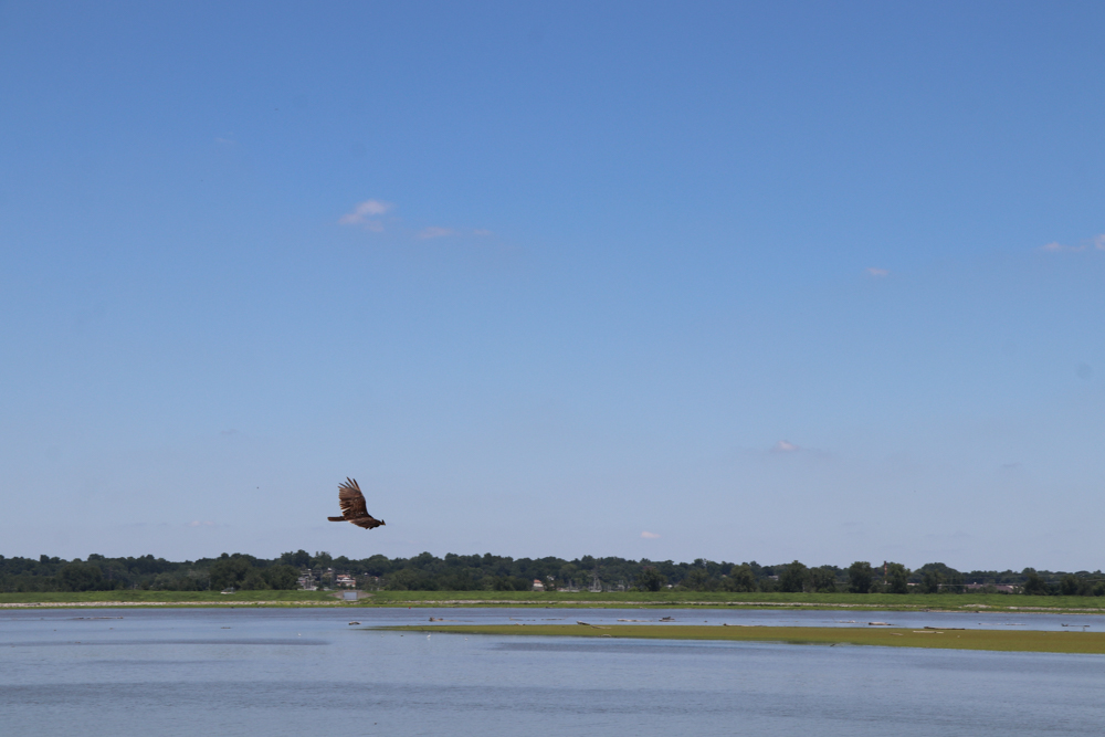
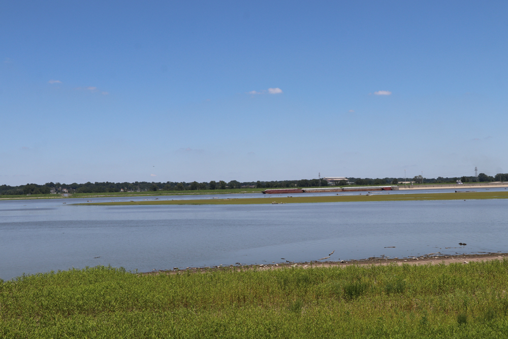
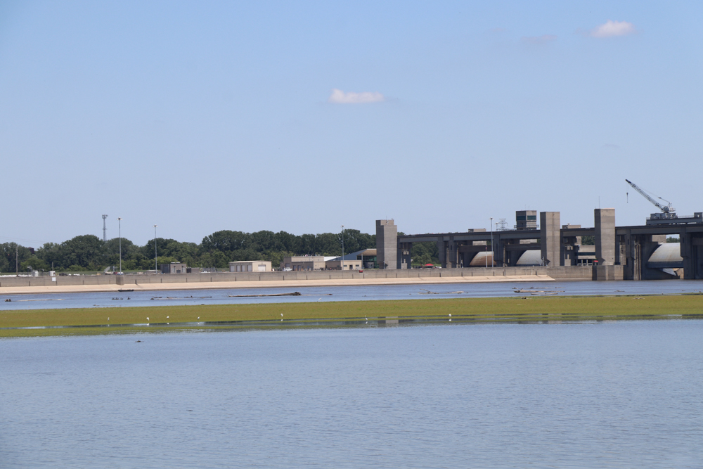
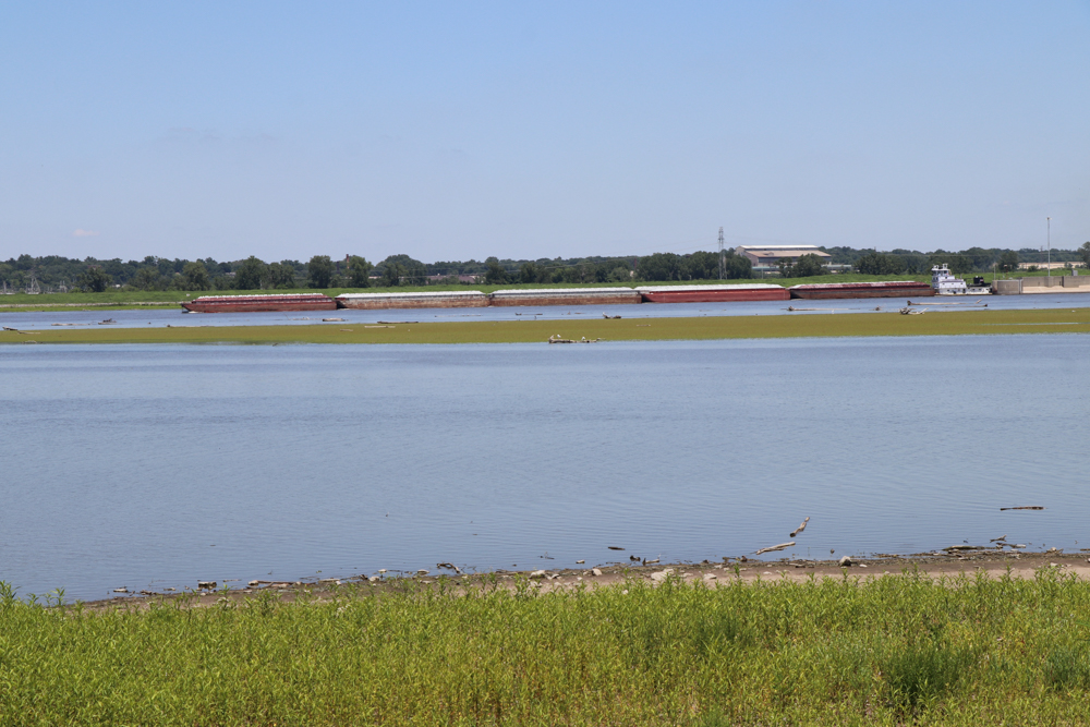
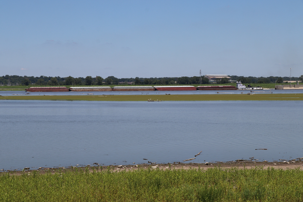
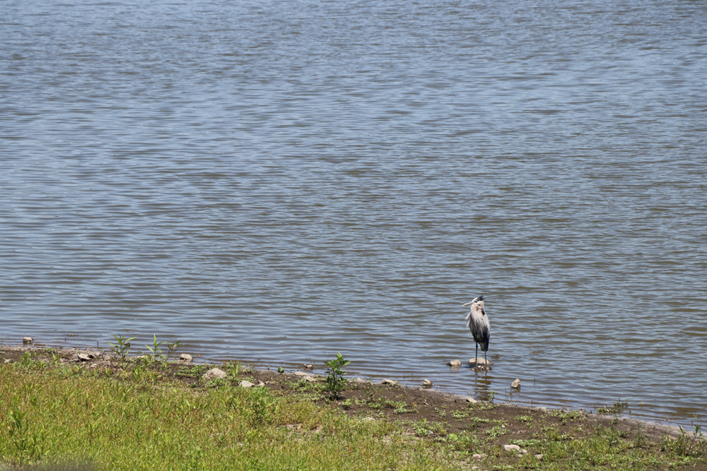
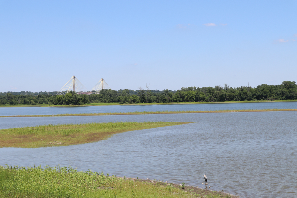
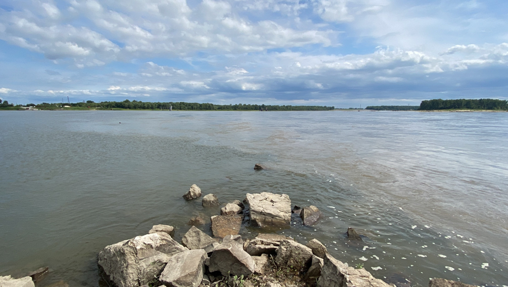
We attempted to visit the Edward "Ted" and Pat Jones-Confluence Point State Park on July 8, 2018, but found it closed because of flooding, so we never made it to the point. It is my intention to go back again. Regardless, I still enjoyed the area and I took a lot of cool photos that I am sharing here.
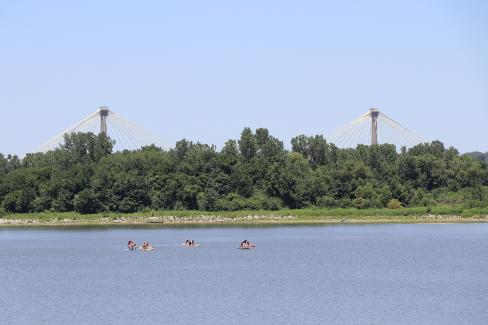
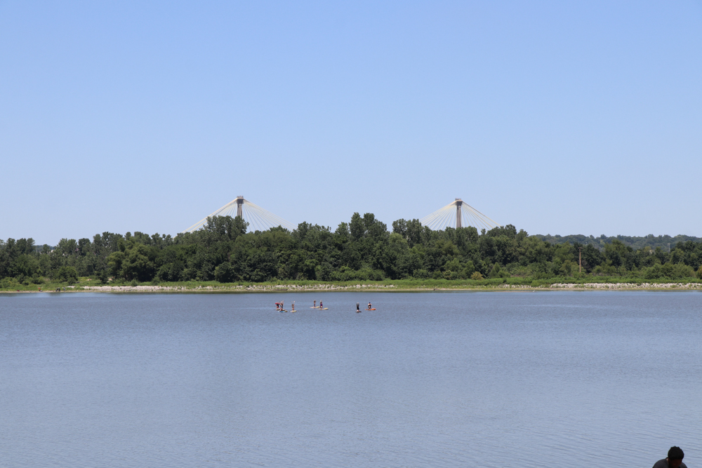
There were people right below the two bridge tops doing yoga on paddle boards! How cool is that!
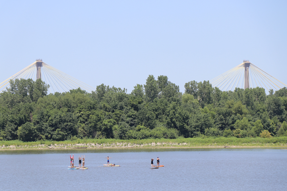
This is the The Clark Bridge on U.S. Route 67 between Alton, Illinois and Missouri.
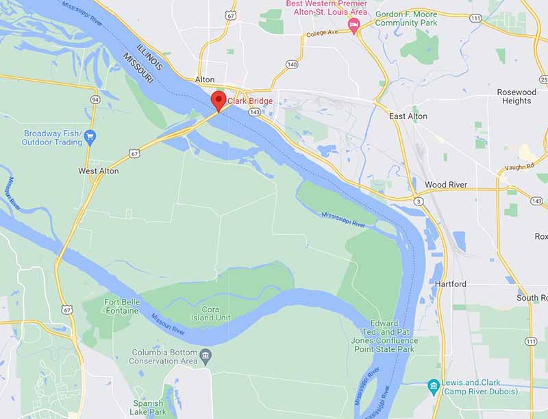
The map shows how close we were able to get to the park with the red marker where the bridge is located in the distance of these photos.