My Corner Online
Highway 100 Illinois, Pere Marquette State Park, Brussels Ferry, Gold Eagle Ferry
Earlier in the year, by happenstance, we had taken a trip up Highway 100 to Grafton and road the Grafton Ferry across to St. Charles. You can see that video of Grafton and the Grafton Ferry here.
The above video was recorded on a trip we took on October 28, 2023. We followed the places my Grandpa visited in 1987 and 1990 in the below videos.
1987
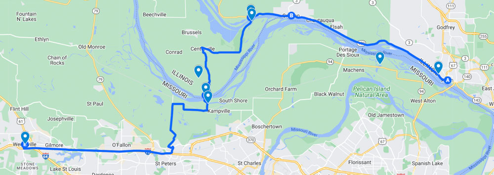
This is the map I created of the 1987 trip my Grandpa and Mary took in the above video. He started at the dam near Alton, Illinois and went north on Highway 100 and crossed the two ferries. Once they reached Wentzville, they continued on to Jefferson City and Bagnell Dam.
1990
This is the map that Grandpa followed in 1990. He lived in Shrewsbury, so would have started there and went to St. Charles first to observe all of the historic flooding around the area. This trip was in the opposite direction of the 1990 video as they traveled across the ferries first and then down south on Highway 100.
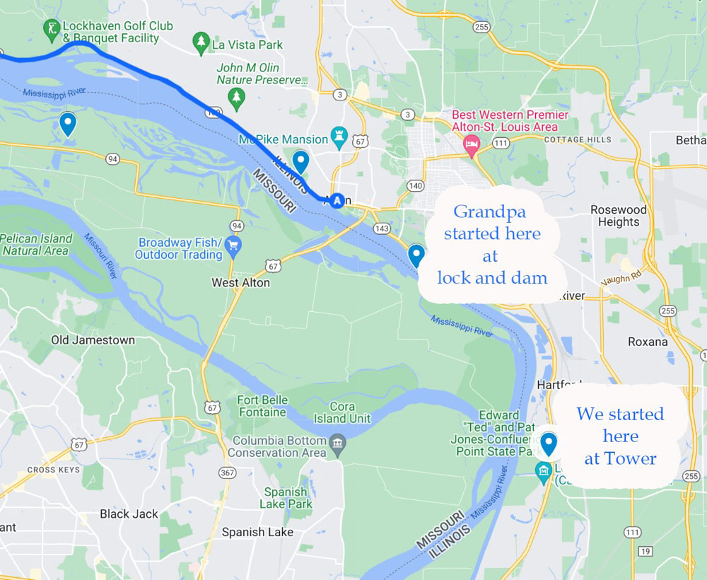
We crossed the bridge on 270 in downtown St. Louis to Illinois and rode up Highway 3 where we discovered the Confluence Tower.
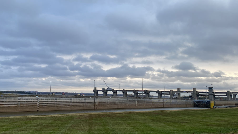
We continued driving up Highway 3 and turned onto Highway 143 where we saw the lock and dam in Grandpa's video at Alton.
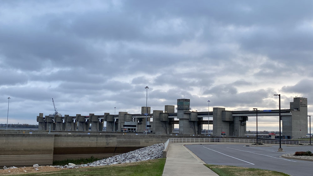
We were racing against the impending rain in the forecast, so we left the house at 6:30 a.m. and arrived at the dam before it was open.
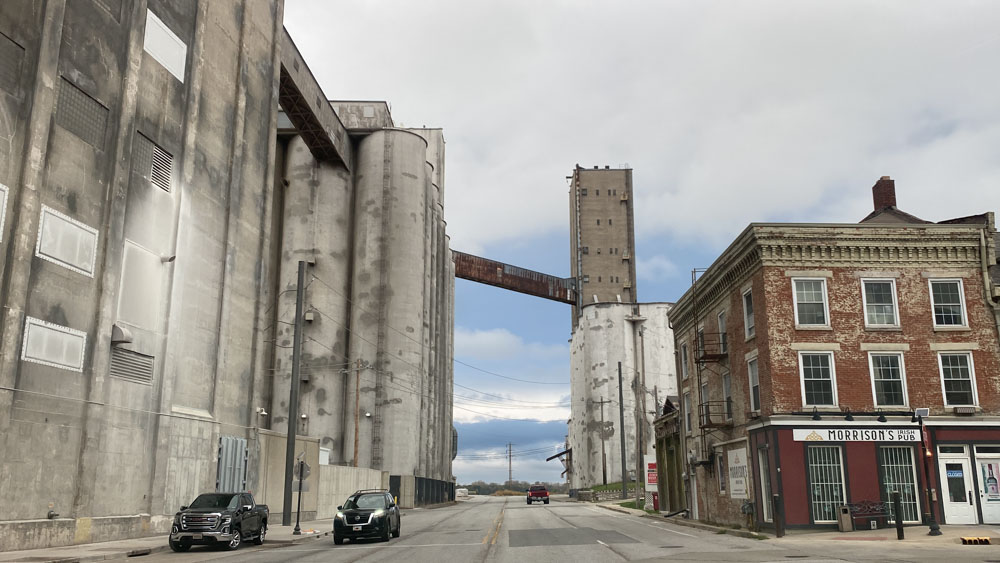
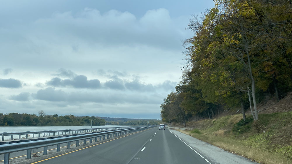
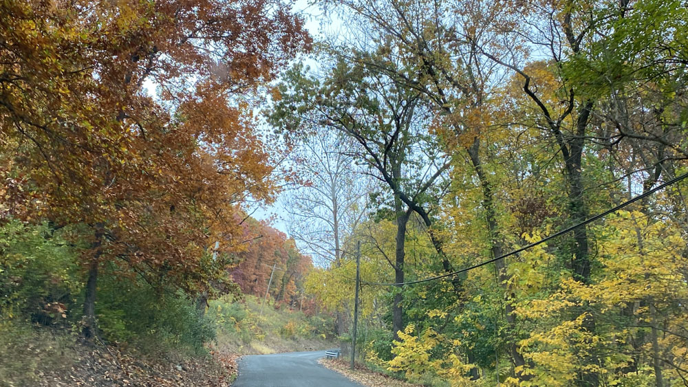
We took the short drive on 67 through Alton and got on Highway 100. This is the scene as you first get onto Highway 100 and are leaving Alton. Alton is rather an interesting town to drive through.
You immediately see the Mississippi River on the left and follow it the whole way.
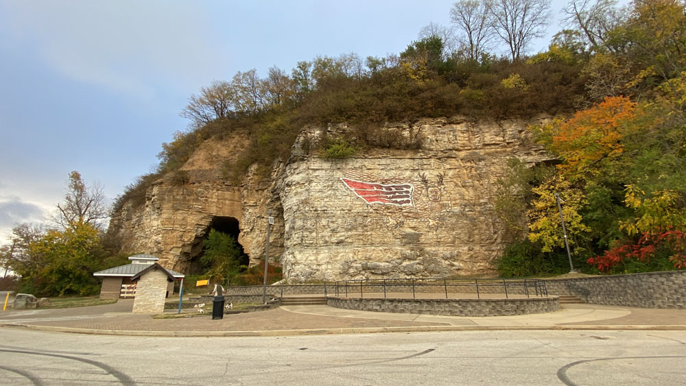
The first place we stopped at was the Piasa Park. This is where they honor the Piasa bird.
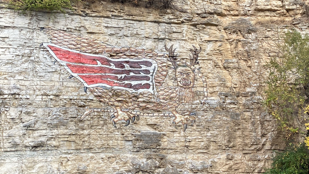
The bird is painted on the side of the bluff.
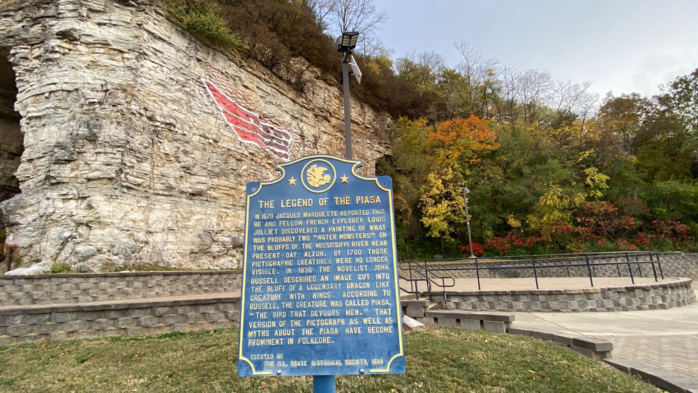
We actually read about the legend of the Piasa bird at several locations along our trip.
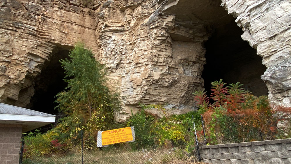
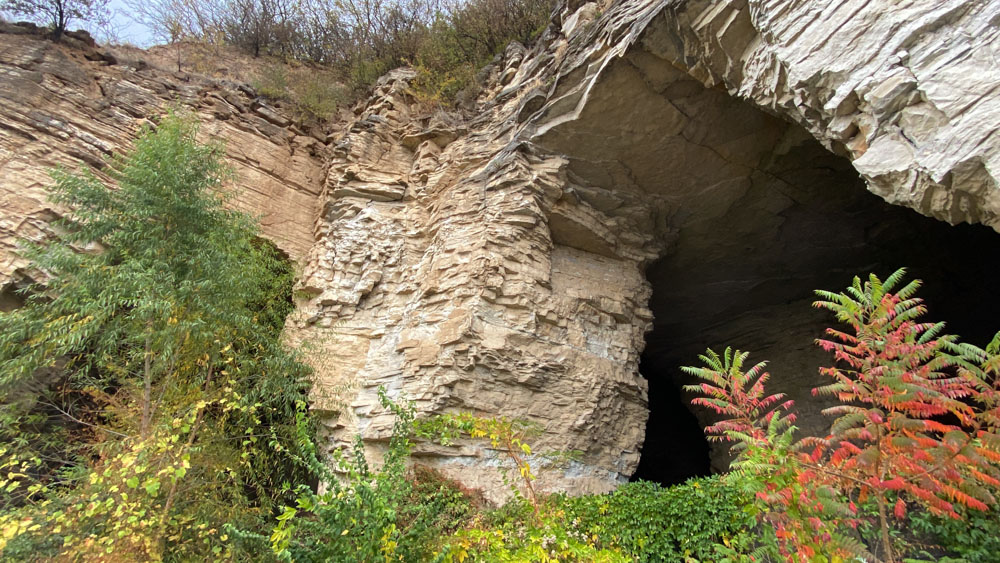
There is a cave at the park would would have been fun to enter, but it was marked off as dangerous.
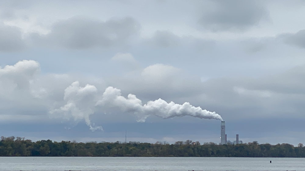
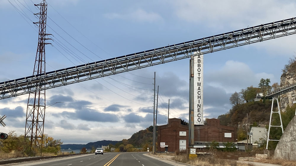
Driving along Highway 100, the next thing we see is the smokestack that Grandpa mentions in his video.
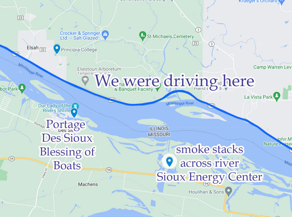
From Highway 100 you can look across the Mississippi River towards Missouri and see the smoke stacks of the Sioux Energy Center and the City of Portage Des Sioux where there is a statue where they hold an annual blessing of the boats.
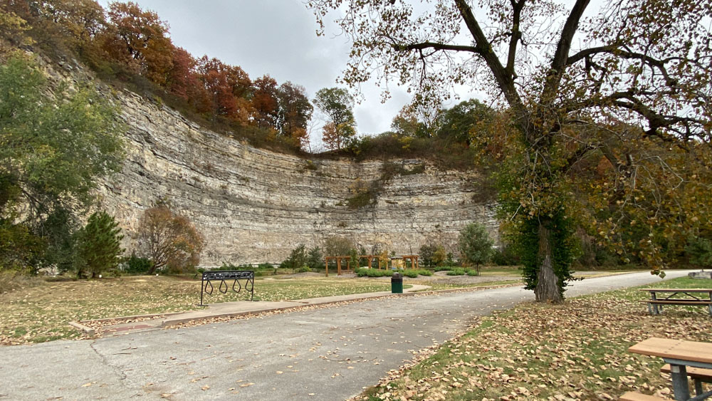
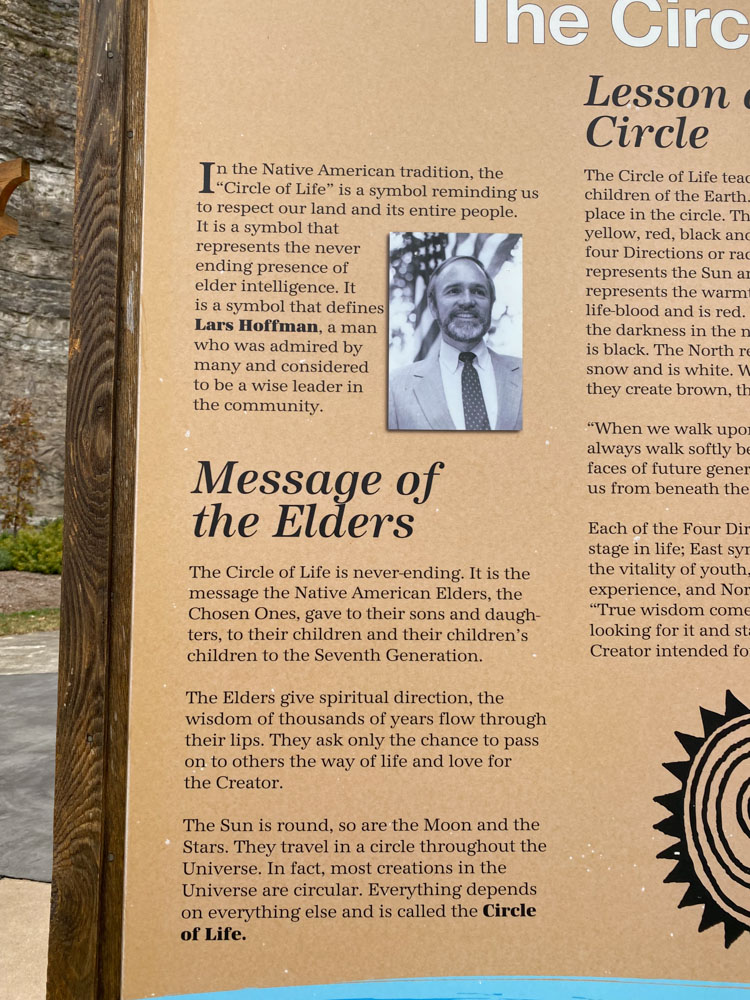
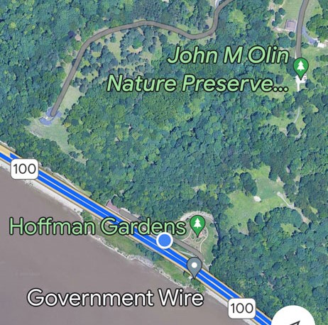
We pulled off at Hoffman Gardens and got the dogs out of the car again for a short walk.
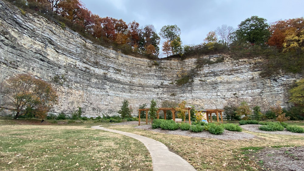
The park is at the base of these amazing bluffs.
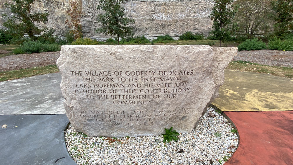
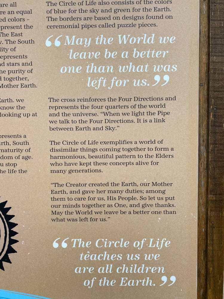
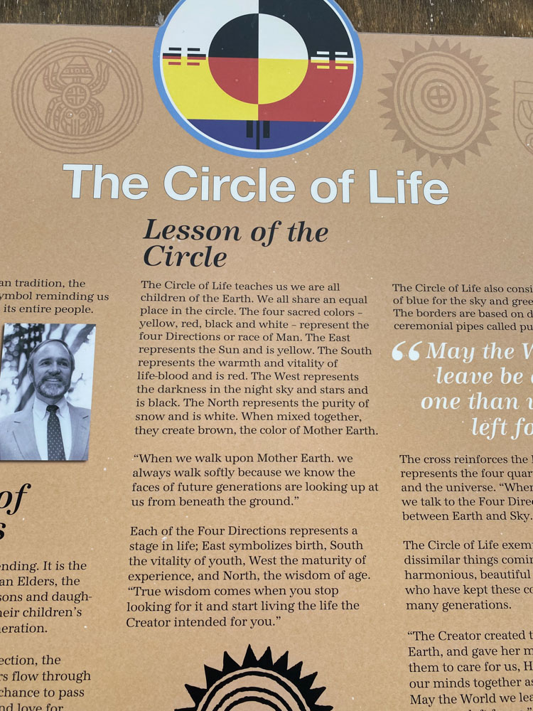
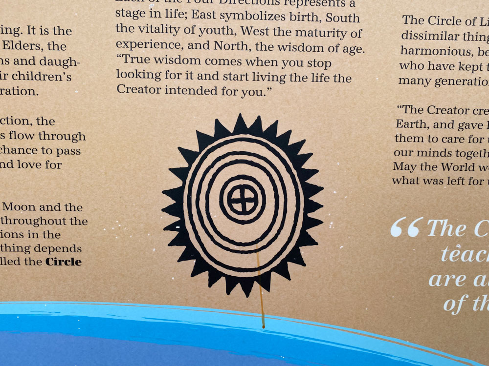
Around the rock is a Circle of Life.
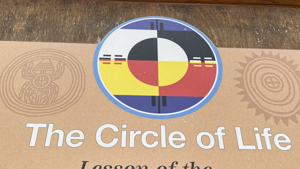
The reading boards tell us more about it and why this garden was built.
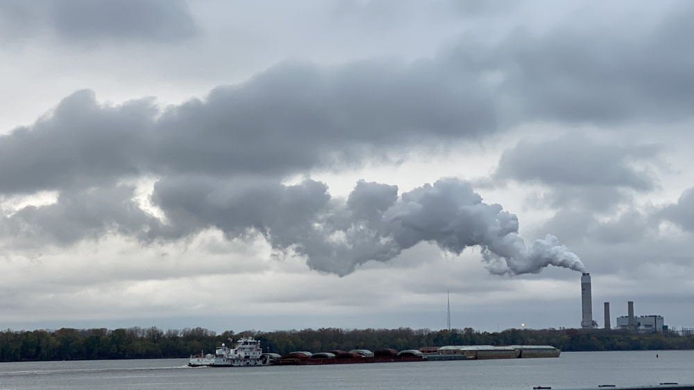
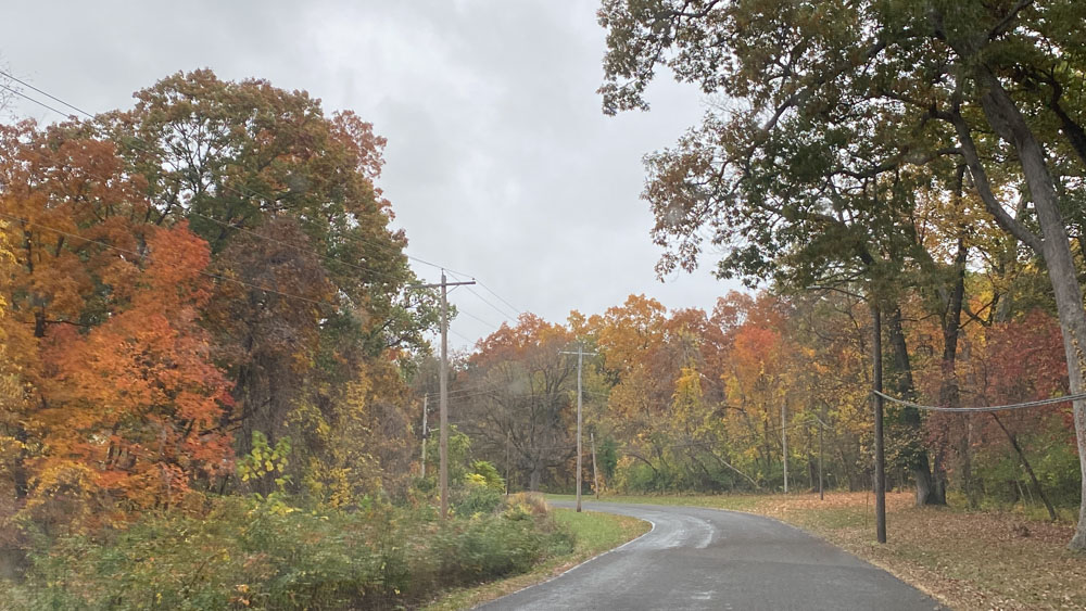
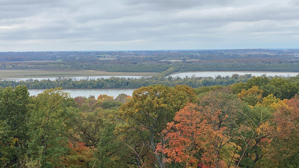
We could see the smokestakes for quite a while along the drive, as well as barge traffic. When we took this drive earlier in the year, the sun was shining and we were amazed at how beautiful the Mississippi River could look. It is muddy and much wider and stronger down south were we live in Cape Girardeau, or anywhere from St. Louis south after the confluences of the rivers. Here there were many house boats and other boats in the Summer. We did not see as many boats during this trip because of the impending rain and the cold air.
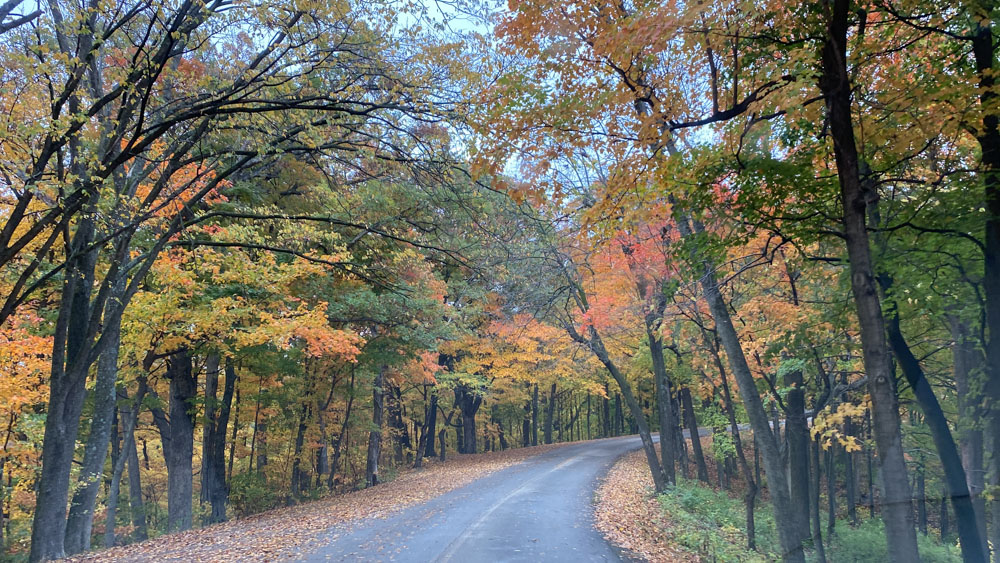
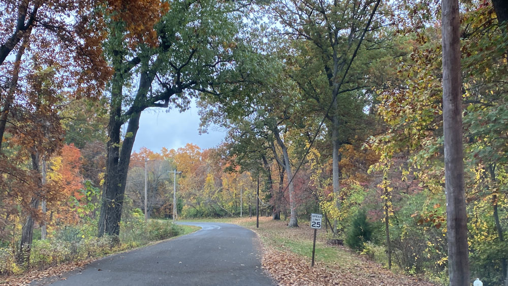
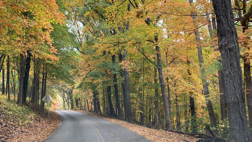
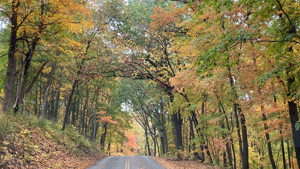
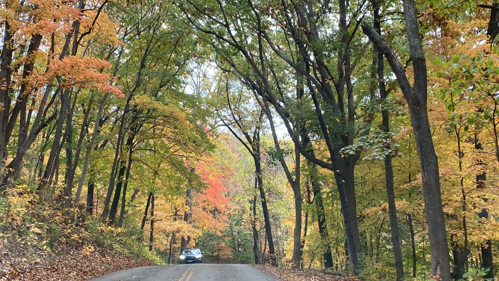
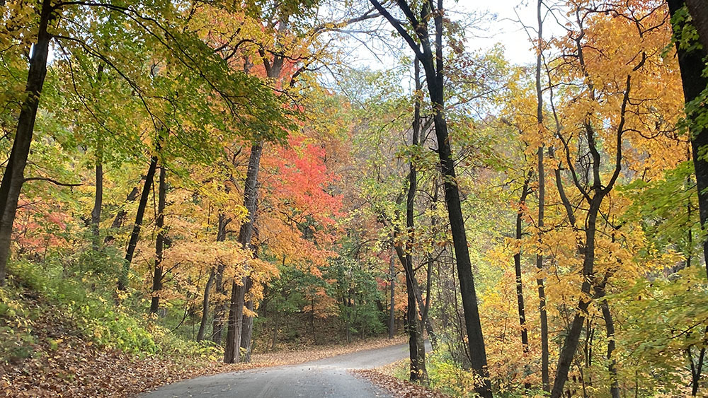
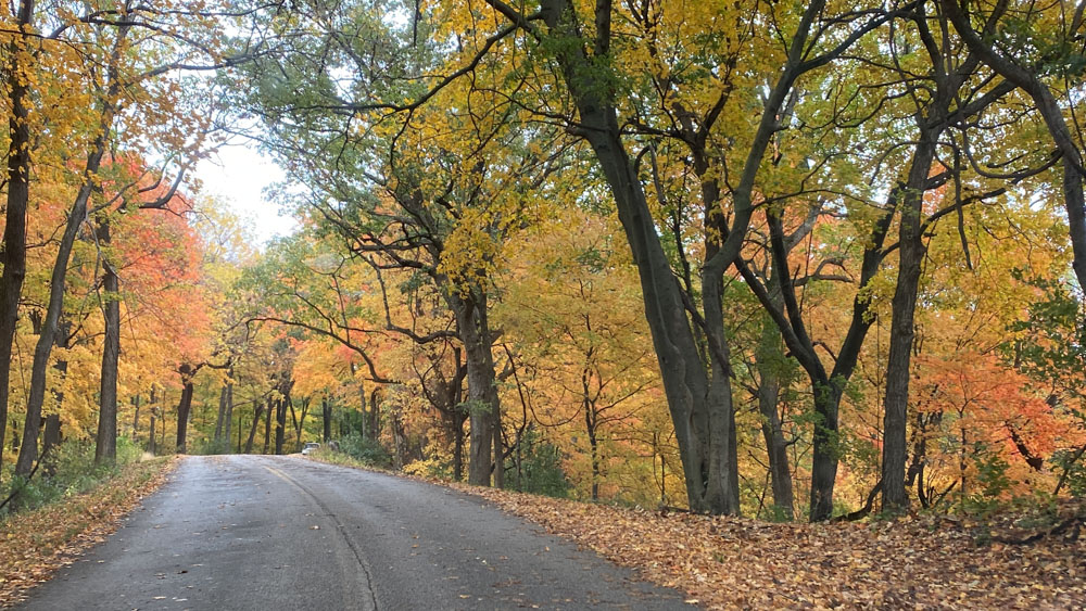
We were on this drive as an Autmn drive and were initially disappointed at the lack of color. We soon discovered that once you reach more north on Highway 100, the colors begin to appear.
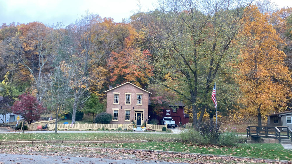
We were on the lookout for Principia College as Grandpa mentions it being above the highway in his video. It is located in the small town of Elsah, so we decided to turn down the street and entered this quaint town which is a wonderful vacation spot. We turned down the road to the color and suddenly entered the Autumn drive we had left the house hoping for.
We reached the college but there was a security shack before you could enter. We wondered what a view from a bluff there might look like, but we turned around and went back through Elsah.
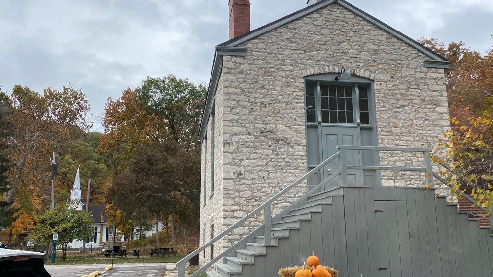

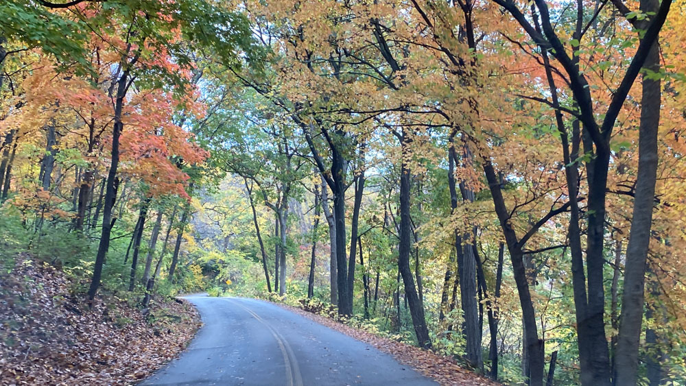
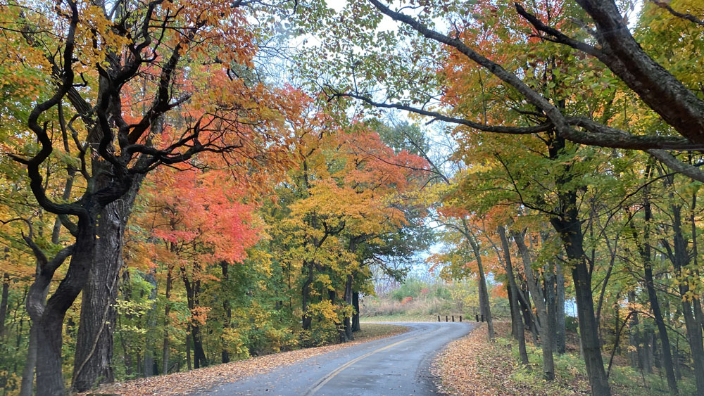
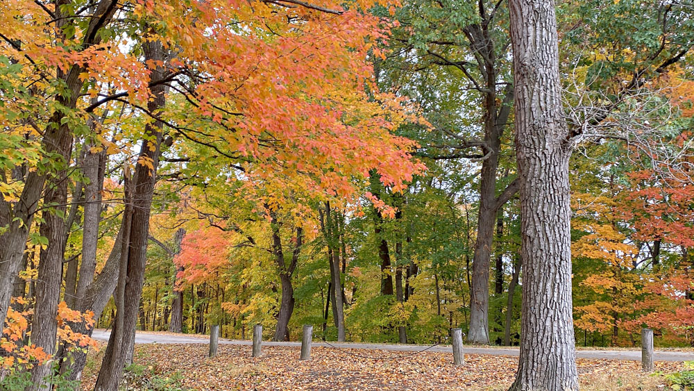
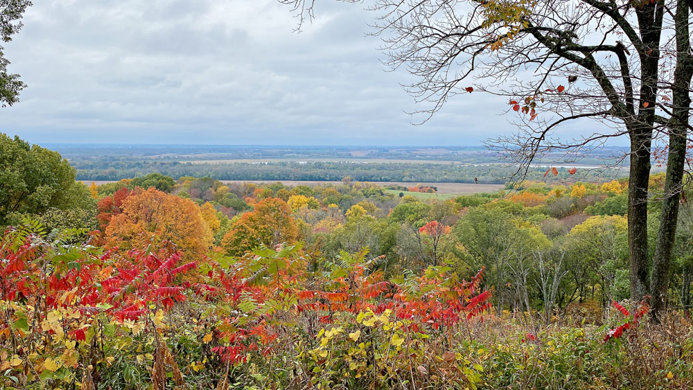
We drove on up through Grafton, not stopping there because we had already taken that ferry: Grafton and the Grafton Ferry here. We drove to Pere Marquette State Park where we inadvertenly drove through the campground area to the office and museum building and were pleasantly surprised at the awesome Autumn color. It would sure be worth staying at their cabin or lodge this weekend of the year.
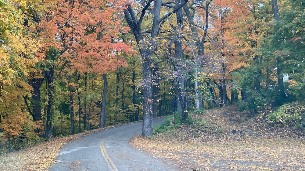
We down Scenic Drive and had found our happy place! It was totally gorgeous!
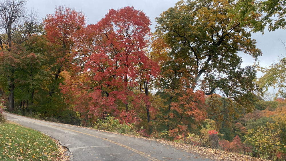
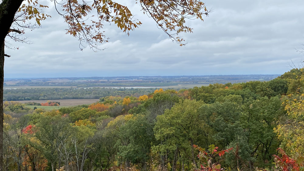
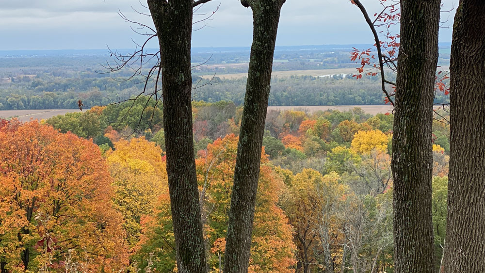
There were several pull offs with short hikes to views along Scenic Drive. Just gorgeous!
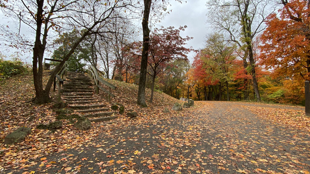
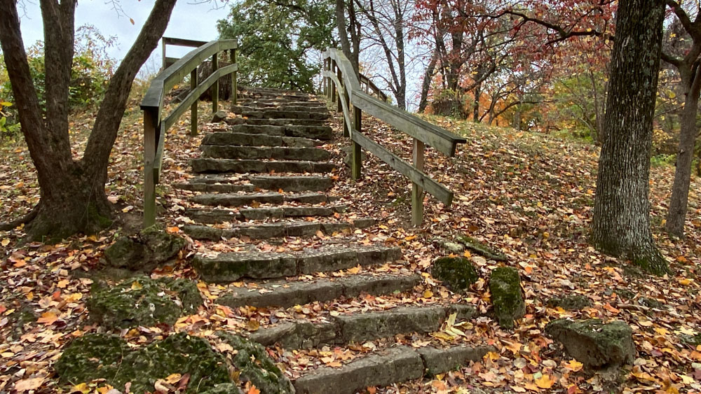
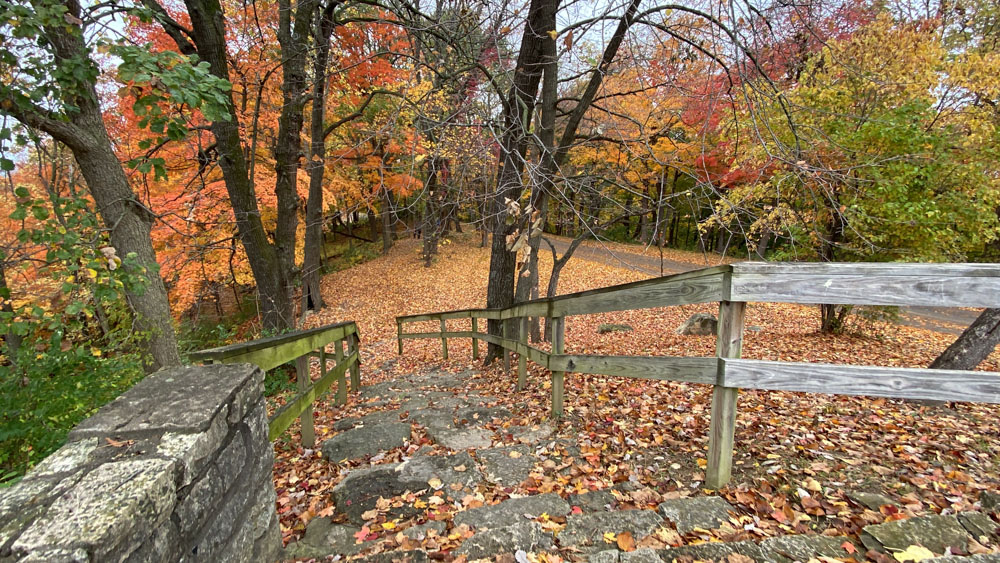
This is the flag pole pulloff, where the flag and pole are gone, but the steps and views looking back at the first pulloff are beautiful.
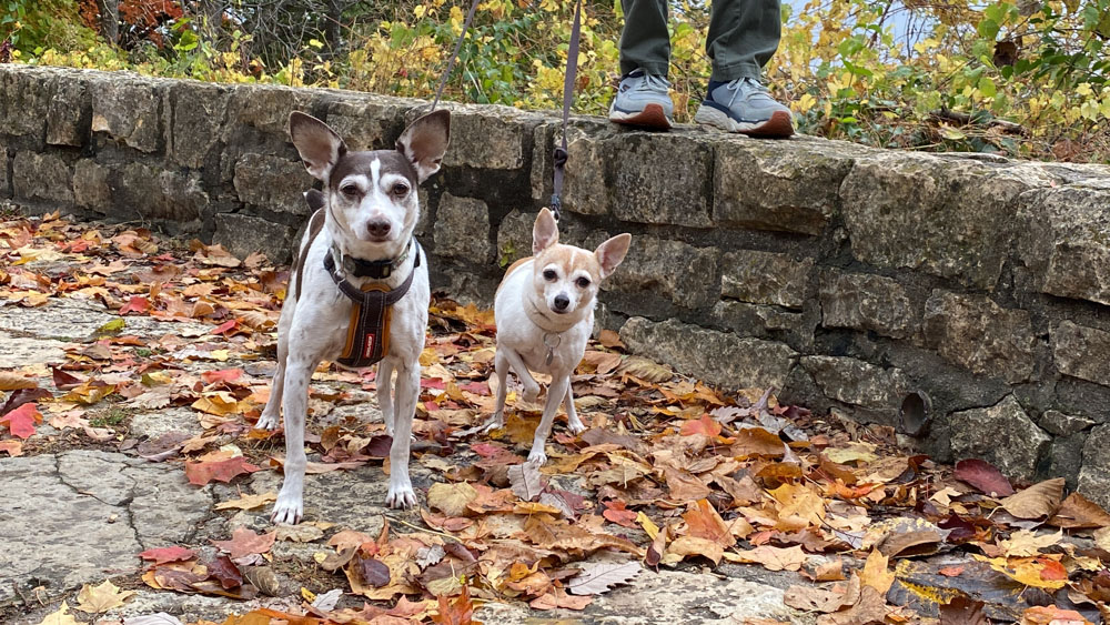
I took a photo of the girlfriends in leaves.
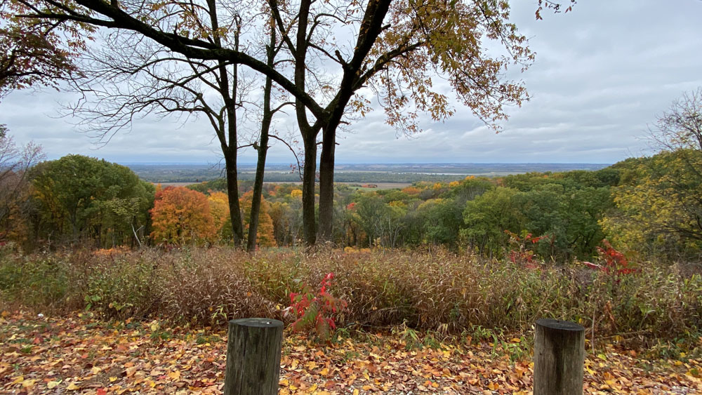
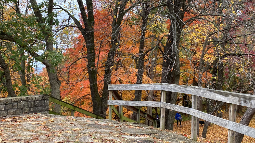
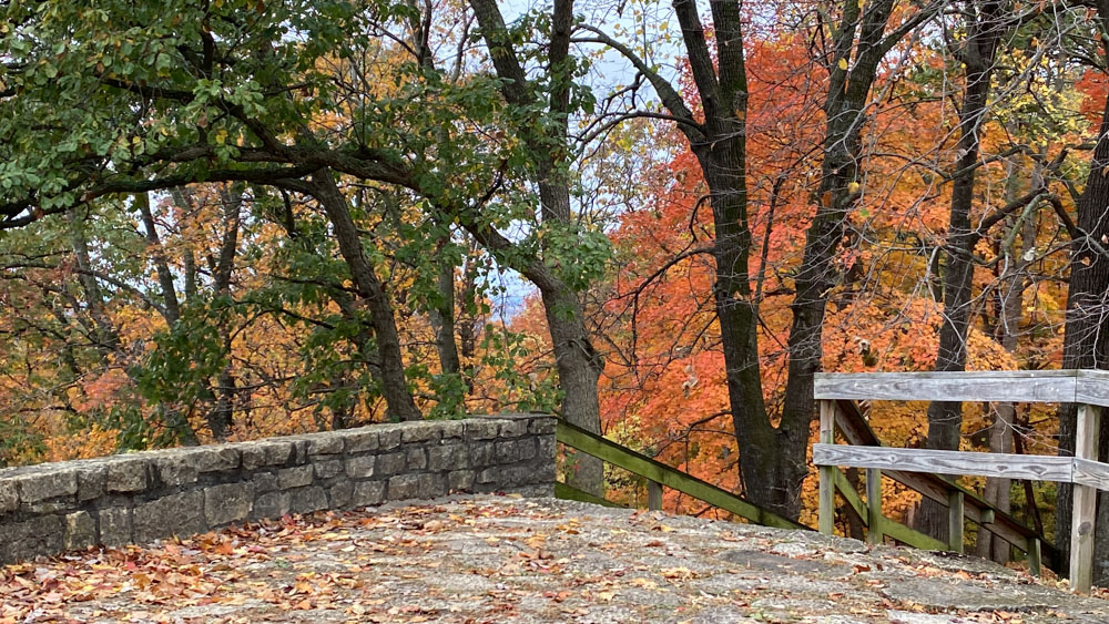
These are the views from the flag pole pulloff.
We continued on through the park and I show the map in the video on how we left the park. I would have liked to have explored more, but maybe we will come back some day for a relaxing weekend. We were racing the impending rain, which we did end up driving through on the way home, but we managed to avoid while on our visit.
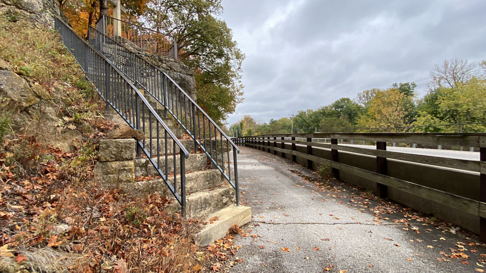
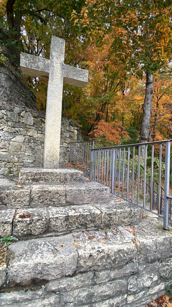
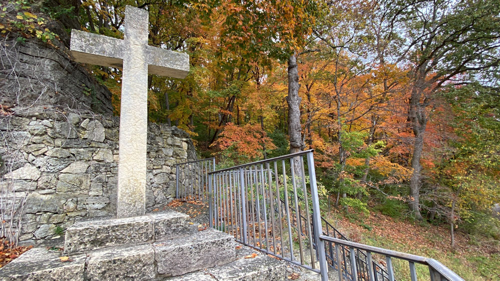
We had passed Pere Marquette Cross on the way in and drove back to it. It is technically still in the Pere Marquette State Park. We took the short walk down the trail and up the steps.
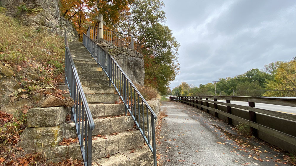
Goodness, is it close to the highway!
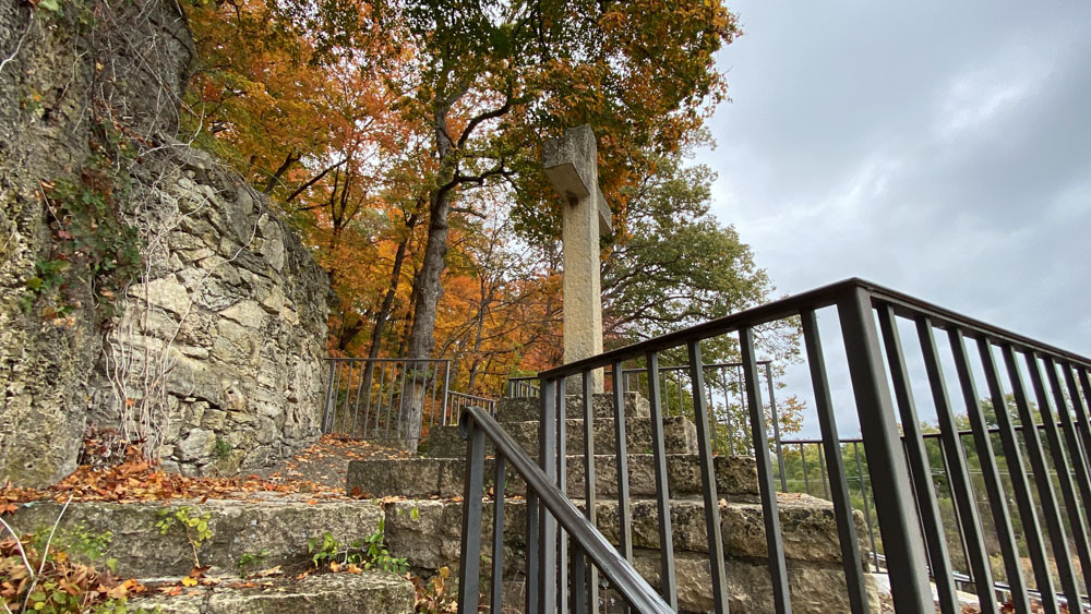
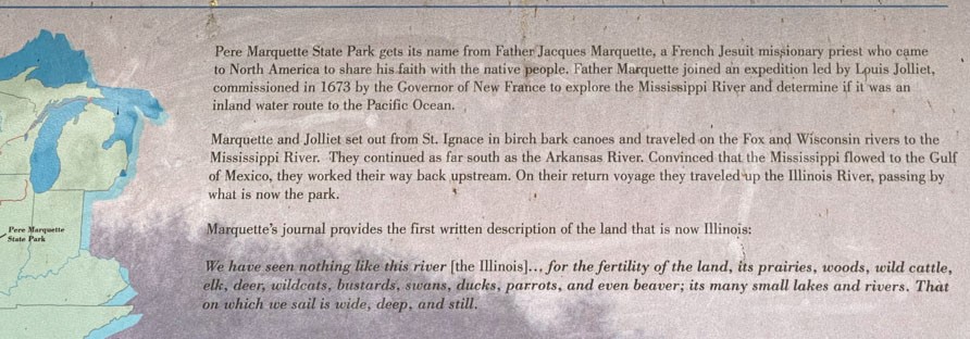
The Illinois River is just beyond the trees. On June 10, 1673, Louis Joliet and Father Jacques Marquette led the first French expedition down the Mississippi River in search of the Pacific Ocean. They only went to the mouth of the Arkansas River and turned around. This stone cross designates the spot of their historic landing.
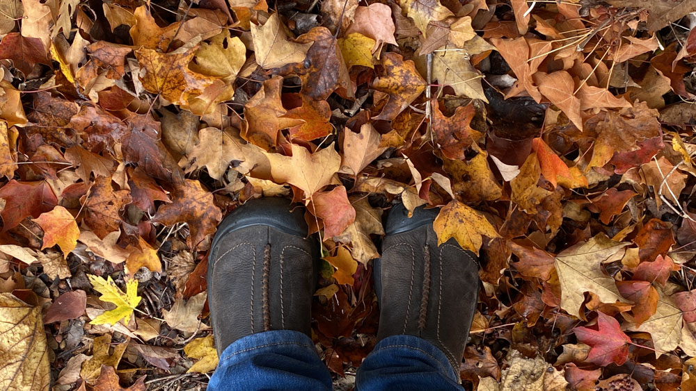
I took my "famous feet shot" in the leaves.
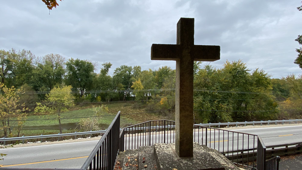
I pondered about the three steps as I recognized it as a type of cross on our Chrismons.
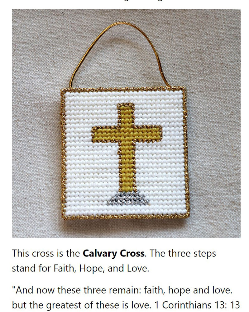
I looked it up on my own website and it is the Calvary Cross representing Faith, Hope, and Love.
The trees were just gorgeous here as in the rest of the area.
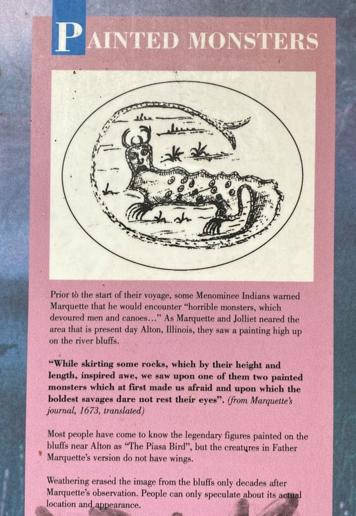
We read about the Piasa bird again and learned some new things. This is an earlier drawing of it.
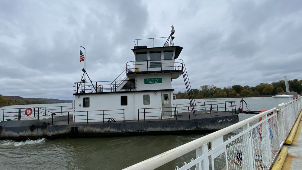
We drove back to the Brussels Ferry and were pleasantly surprised that it was free to ride.
It was a quick trip and we landed on an area between two rivers. We were always confused which rivers were were crossing or near. The Brussels Ferry crosses the Illinois River just above the confluence with the Mississippi River.
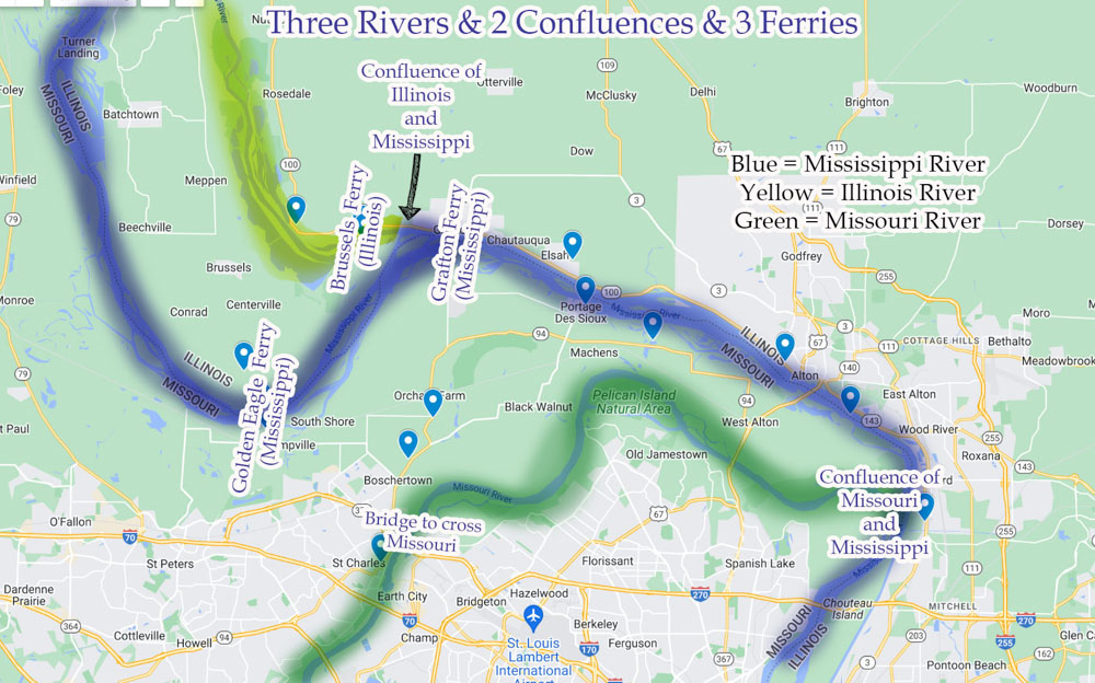
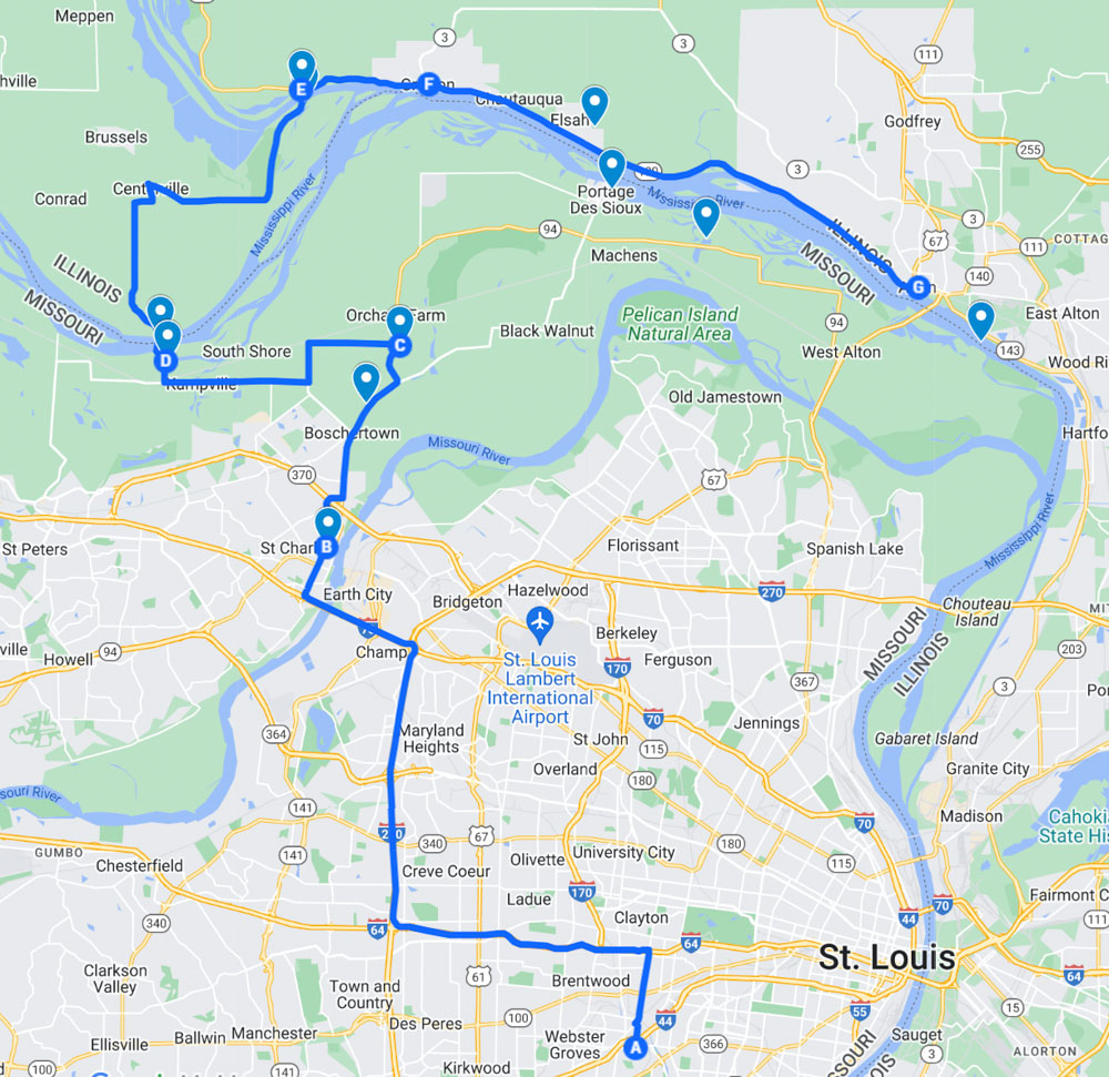
I made this map after I returned home to help us and others to see where the rivers run and which ones are being crossed. The only time we cross the Missouri River is when we always cross it on the bridge near St. Charles.
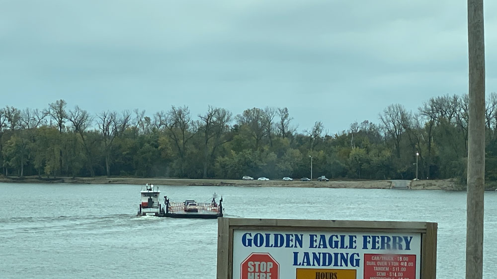
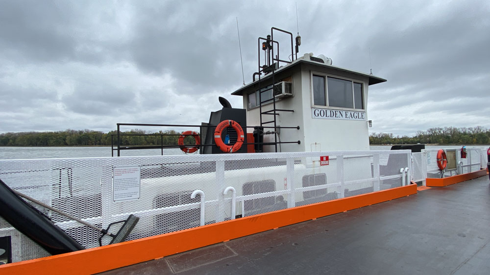
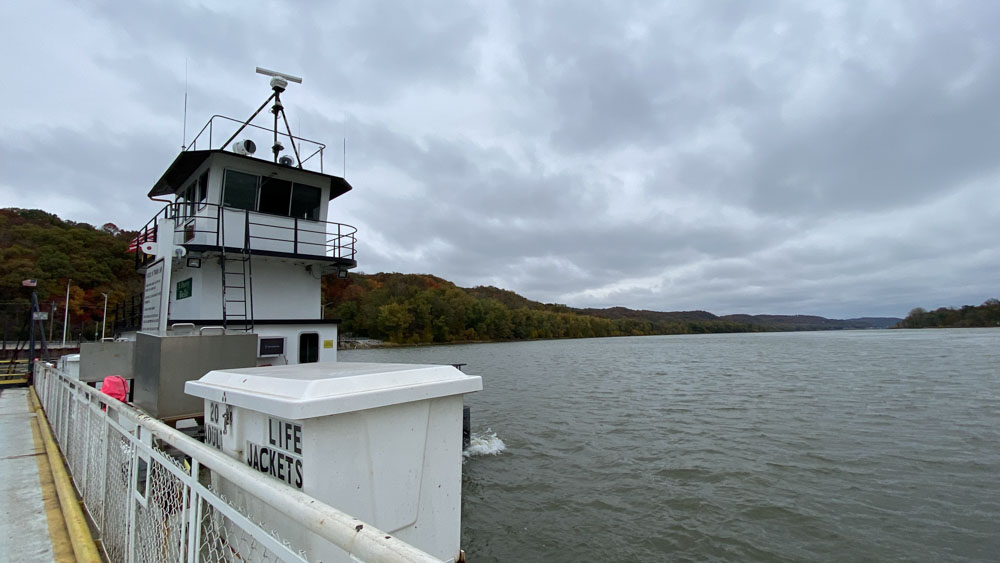
It was a nice drive across the land between the two rivers (we wondered what it was called and never came up with a good name). We waited for the Gold Eagle Ferry to come back from across the river. This is a private ferry, so there is a charge to ride it.
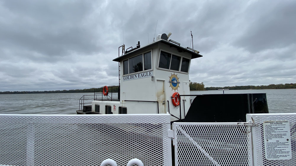
We rode the Golden Eagle ferry across the Mississippi River to St. Charles Missouri. Technically, the land between the Illinois River and the Mississippi River is also St. Charles.
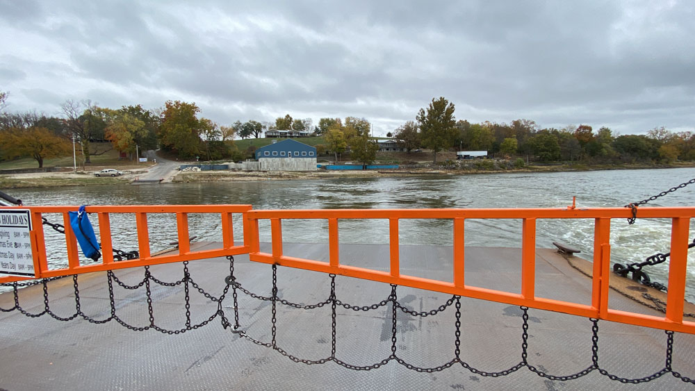
This is looking back at where we came from where we loaded. There is a restaurant there but I think it is closed. We might have eaten there, but we waited until we got home and went out to eat (in the pouring rain).