My Corner Online
Starved Rock State Park
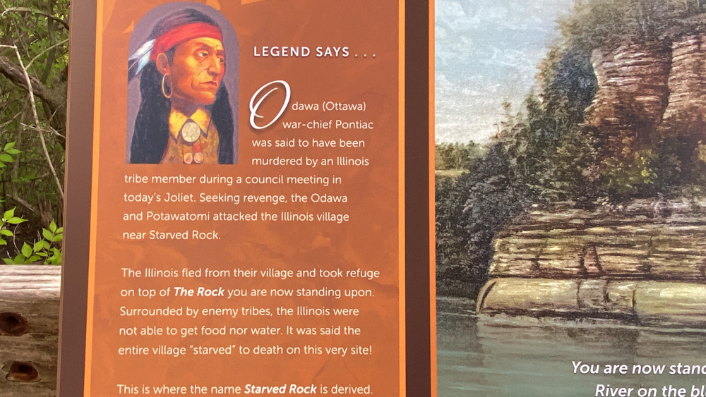
Starved Rock State Park and Starved Rock Story
Starved Rock State Park is located at Oglesby, LaSalle County, Illinois, although I never saw Oglesby and associated it with Utica, Illinois moreso. This video is of our first hike to Starved Rock and then I share reading snippets of the story, or legend, of Starved Rock from a book called French and Indians of Illinois River by Nehemiah Matson. You can go to archives.com and download a copy of the book for free or purchase a digital copy for a nominal amount. From the parking lot to Starved Rock is said to be .6 mile round trip but that seems deceiving to me, especially with all the stairs and this old body of mine.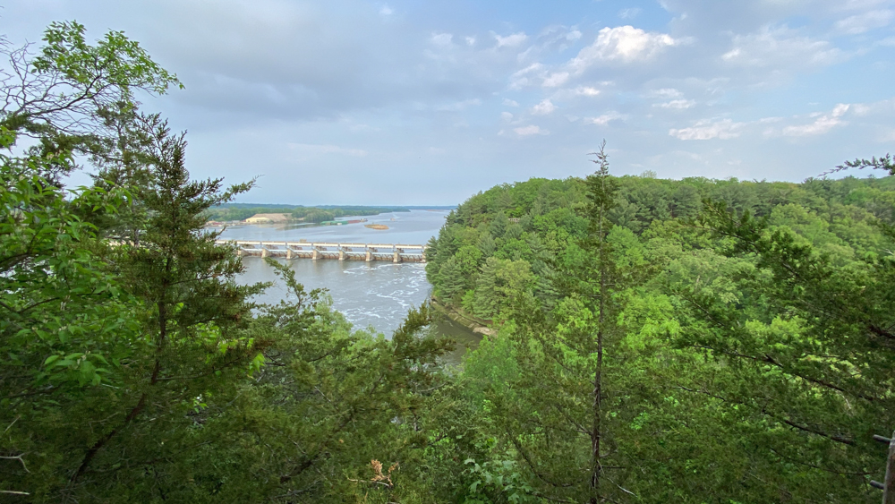
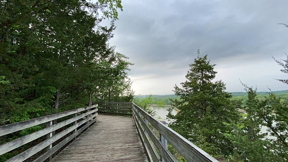
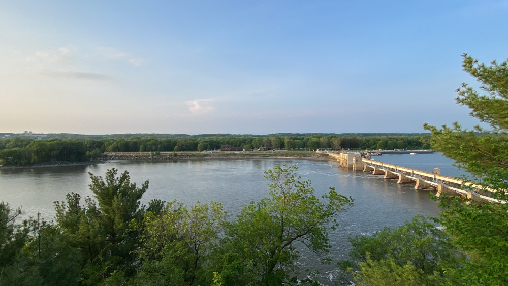
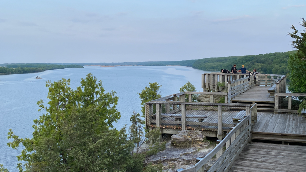
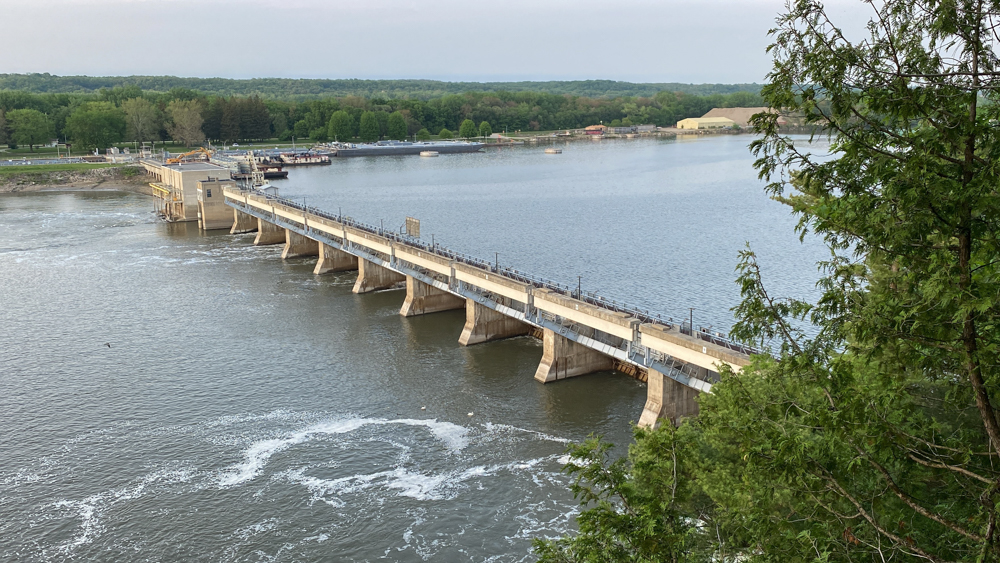
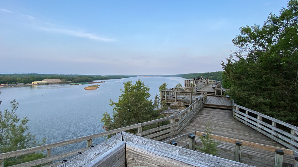
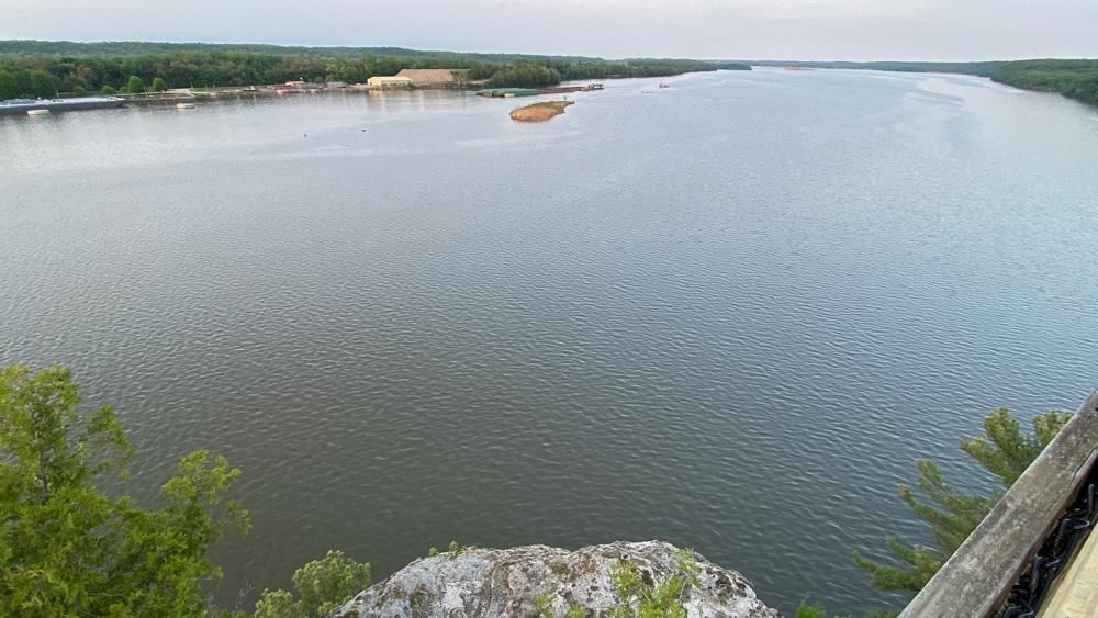
This photo is the view from the deck when you first rive at the top of starved rock, with the Illinois River, the lock and dam, and Lovers Leap in the distant view. Starved Rock State Park and Matthiessen State Park and Illini State Park and Buffalo Rock State Park are all very near each other in Illinois, between St. Louis and Chicago along I-55, and we visited all four on the weekend of May 12 through 14, 2023. We camped at Starved Rock State Park Campground which is not in the park, but right next to it along Route 71. All areas of the park can be entered to from Route 71 on one side and the campground is on the other side.
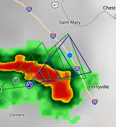
I shared this because the entire weekend we skirted the bad weather. the blue dot is us on Highway 55 and I watched the storms roll in looking in my rear view mirrors. The same thing happened when we were near our destination. We did get rained on overnight, but otherwise drove around the rain.
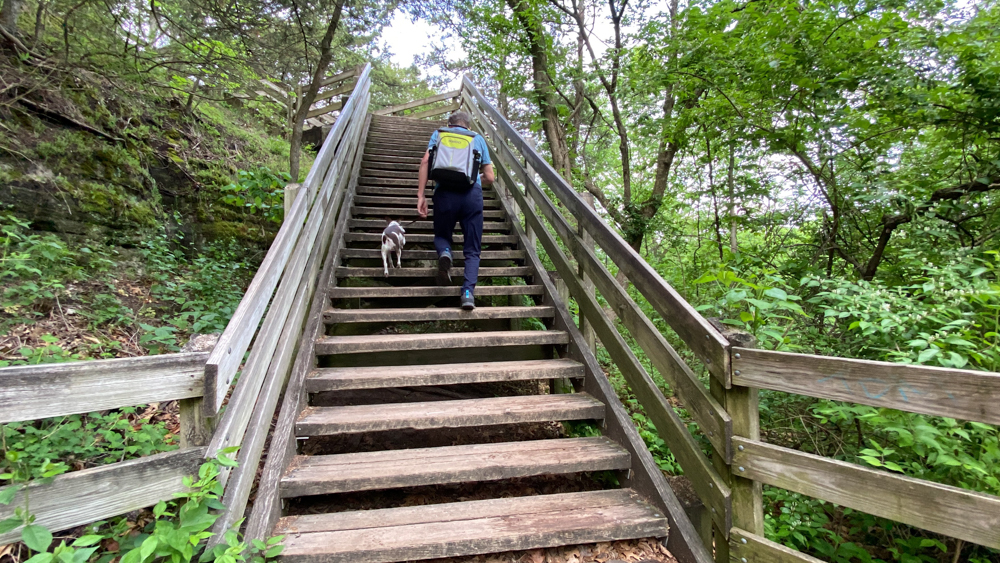
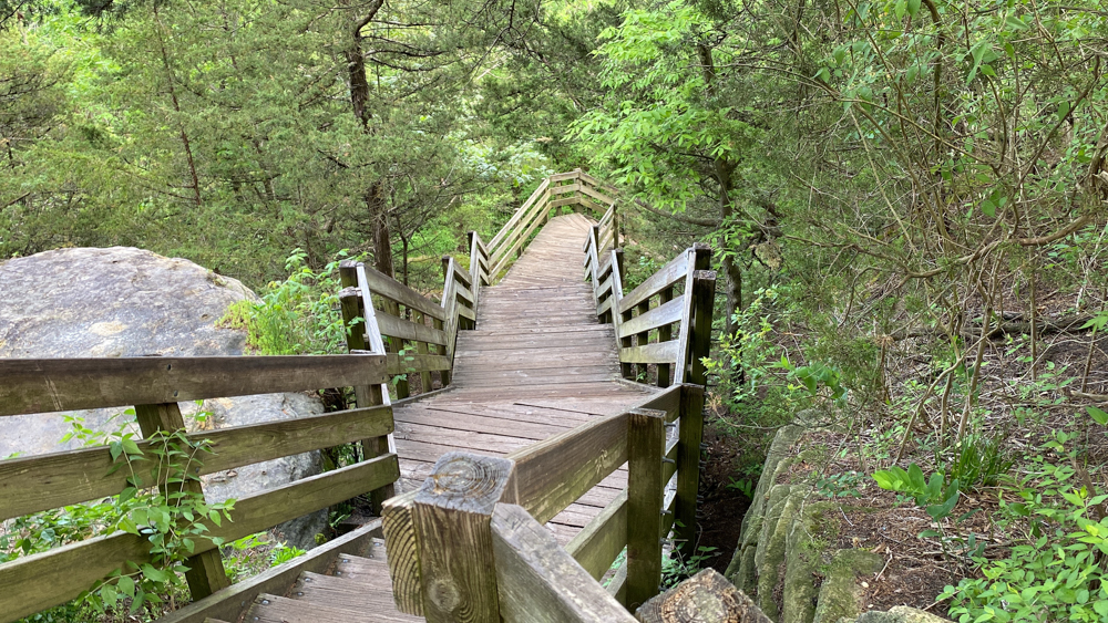
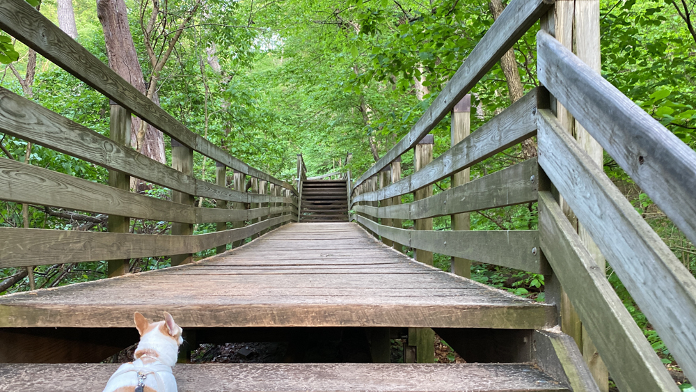
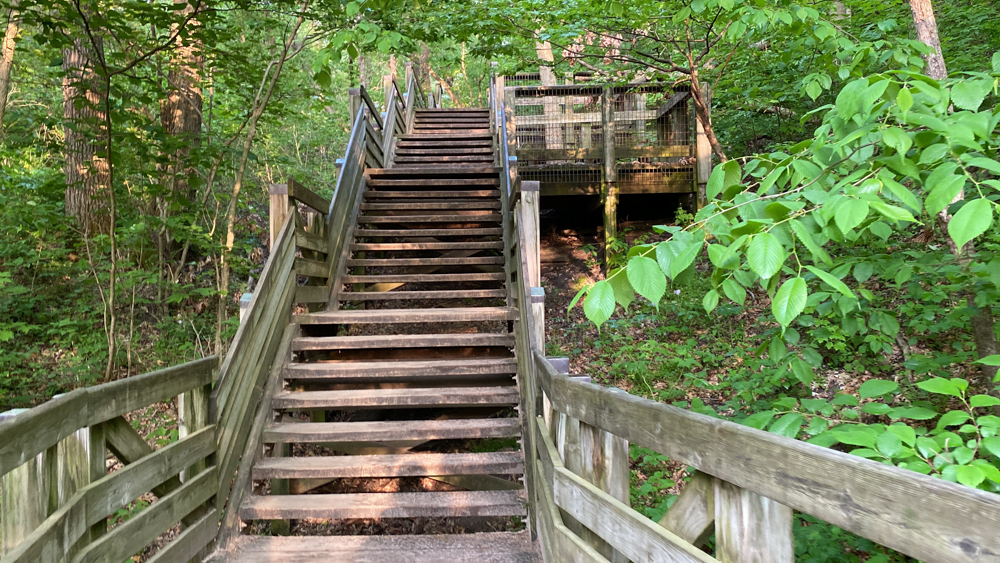
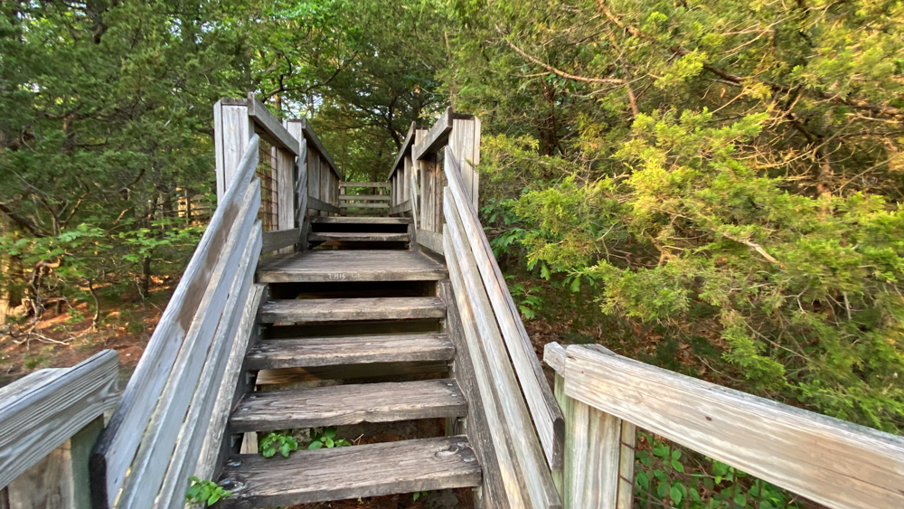
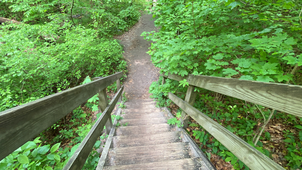
These are the stairs up to starved rock.
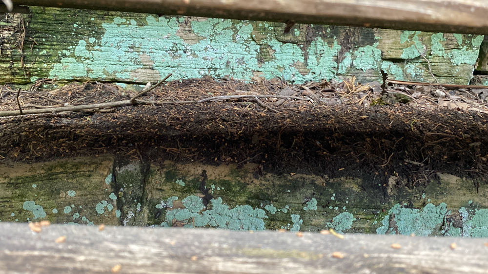
I took a photo of the old steps where were under the new steps and could be seen through the cracks of the steps. They were left there to rot and go back to nature and you can still see some of the old paint. I thought it was kind of cool
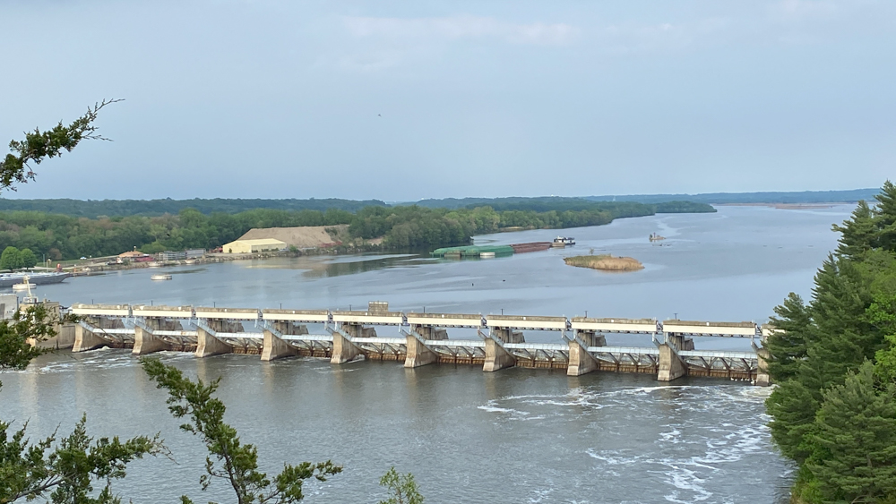
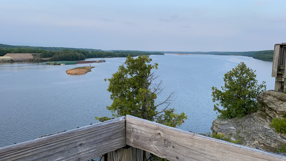
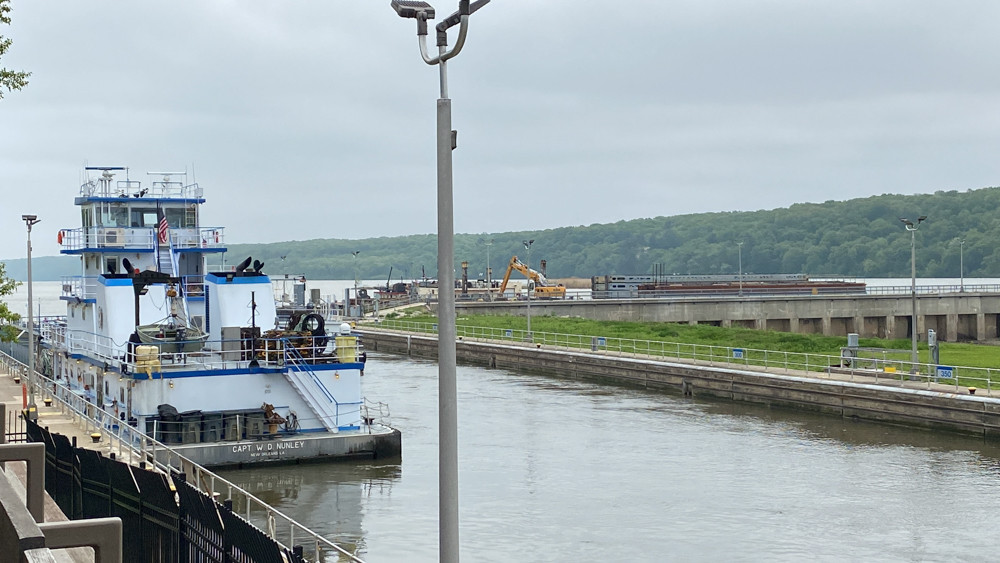
This is a close up view of the lock and dam from the same location as the first photo above. You can see a barge in the distance too.
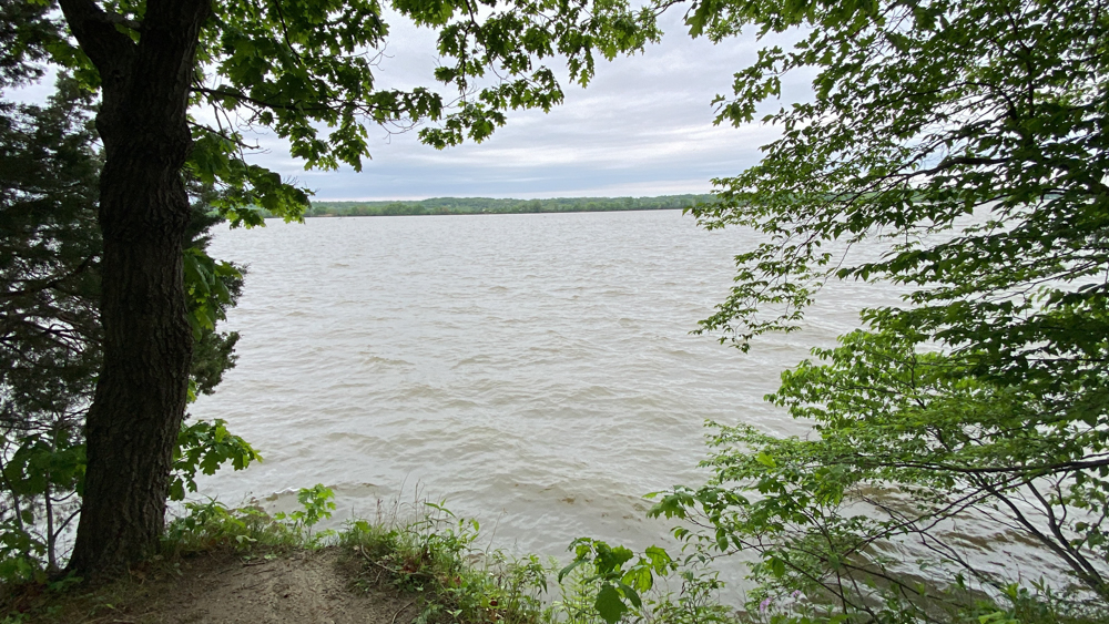
I took this photo as we imagined the part in the story in the book (as seen in the above video) where she threw her baby off the side and followed to choose her own death rather than the long-suffering death for her child.
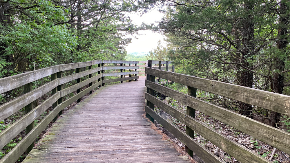
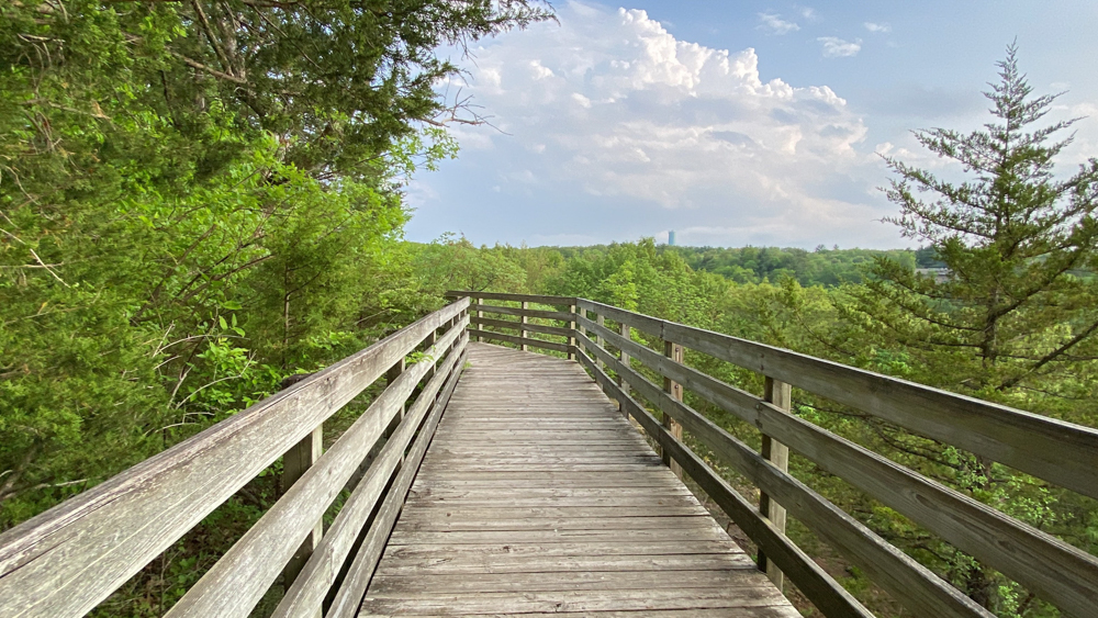
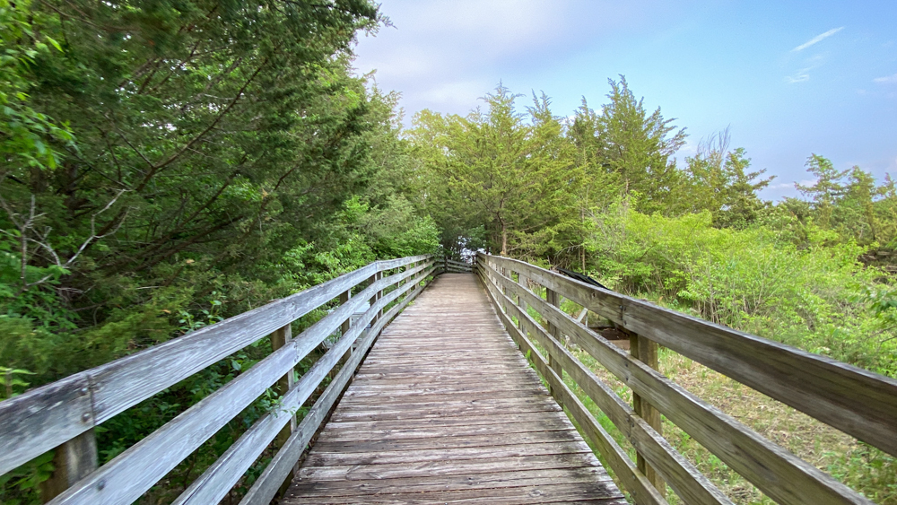
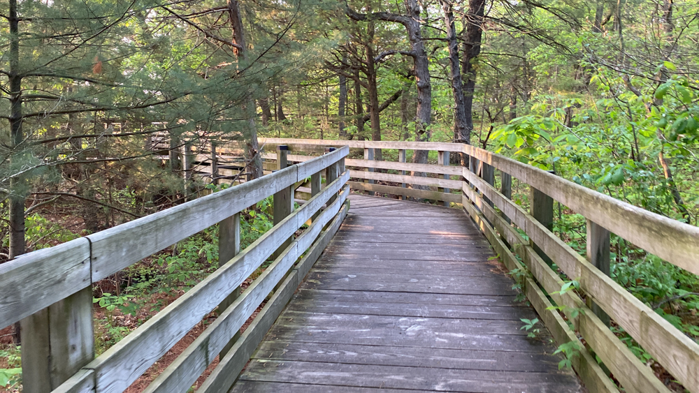
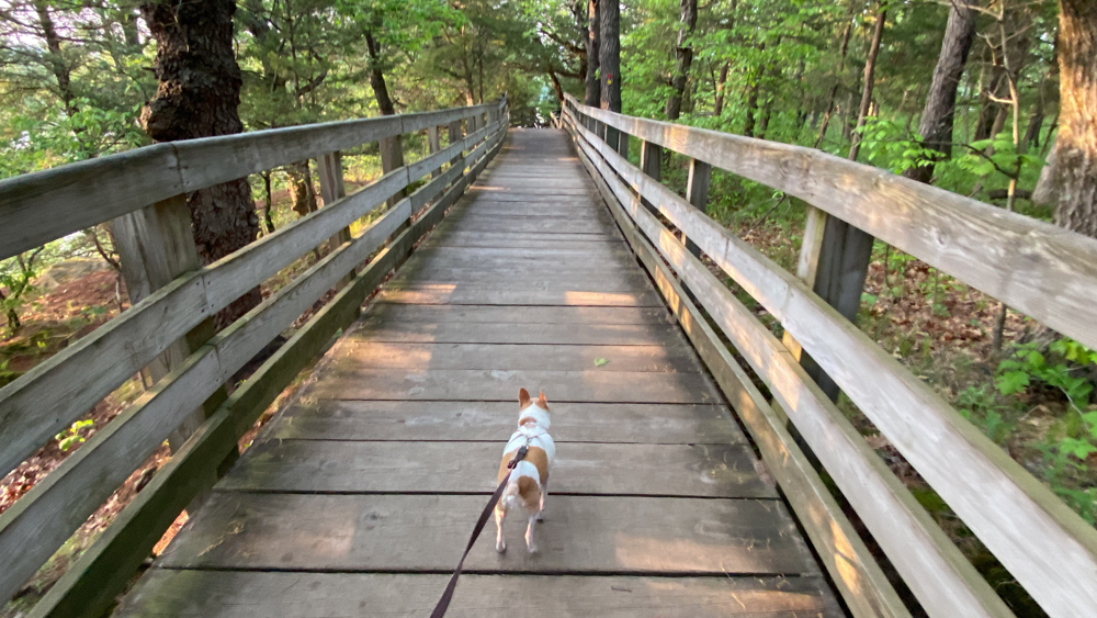
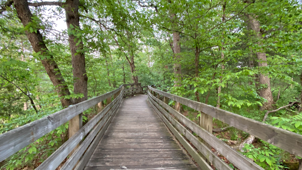
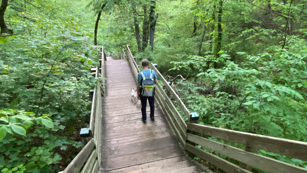
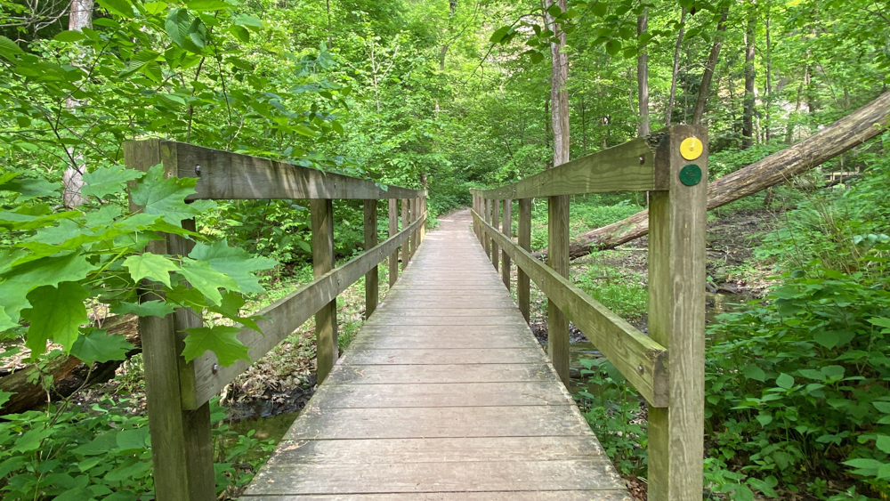
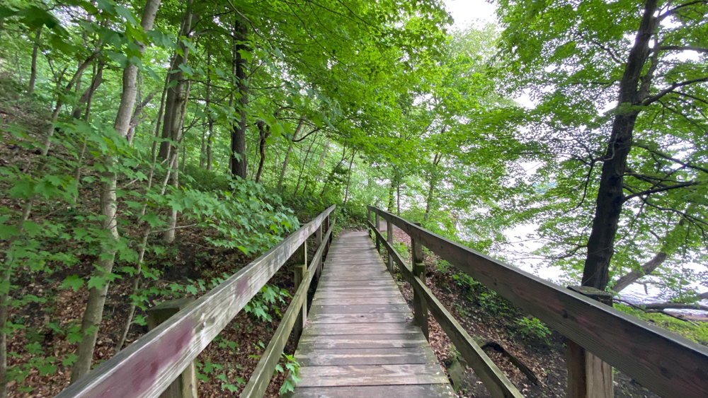
The boardwalk goes all the way around the top of the rock.
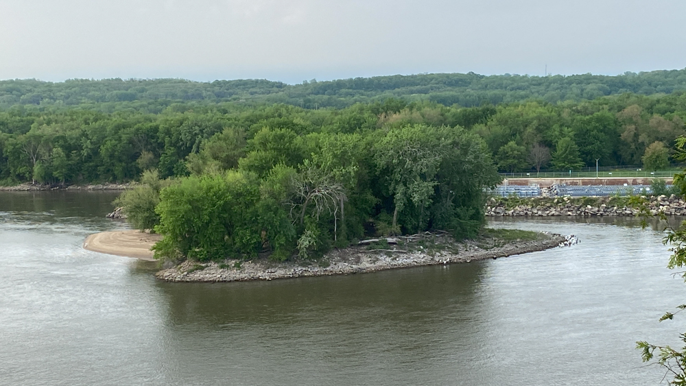
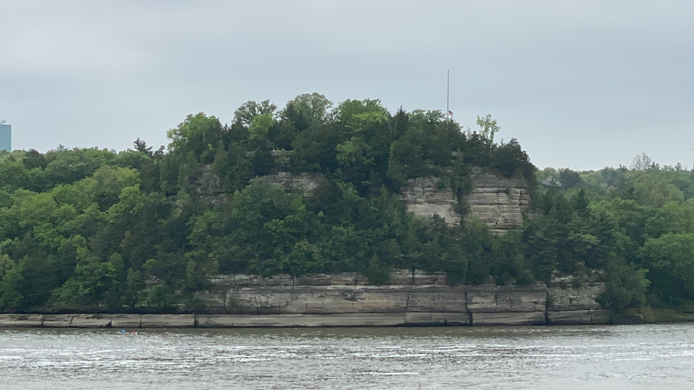
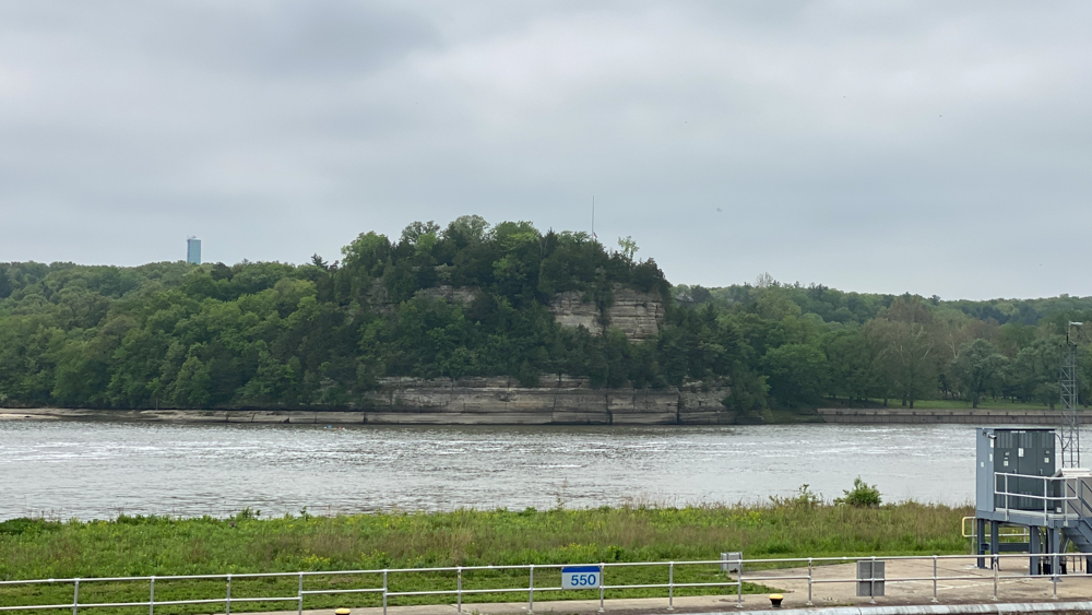
This is Plum Island which is where Eagles hang out in the Winter months and can be seen from the lock and dam location across the river as well.
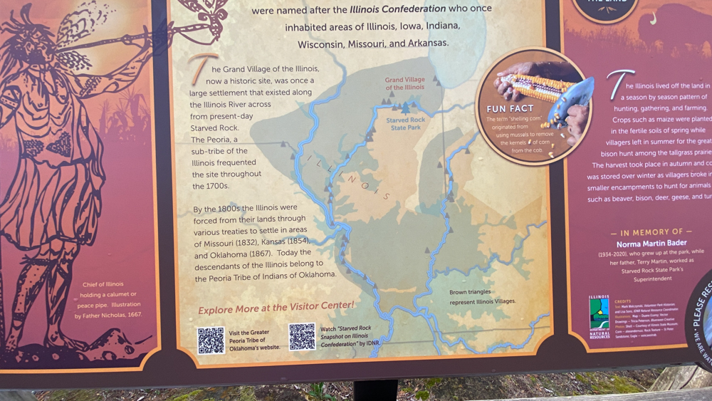
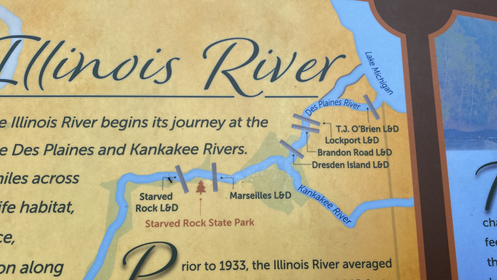
The brown triangles represent Illinois villages. I thought this really stood out as how far and wide the villages were to aid in bringing reality to the stories.
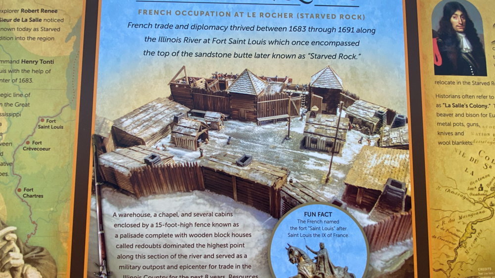
This is a depiction of what Fort Saint Louis would have looked like as it stood on top of this rock. When the story of the Indians starving on top of the rock took place, the fort was present but becoming dilapidated.
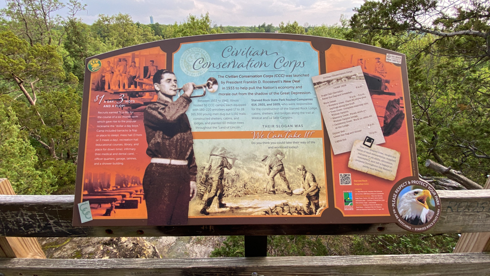
The Civilian Conservation Corp during the Great Depression had a bit hand in building this conservation area, as they did in building many state parks and areas across the country.
Lover's Leap Trail at Starved Rock
From Starved Rock we continued our hike on May 12 to Lover's Leap. In this video I also share the legend and other tidbits about the story.
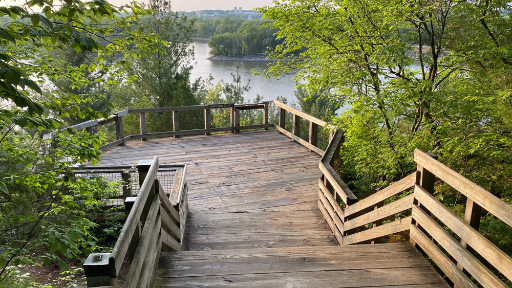
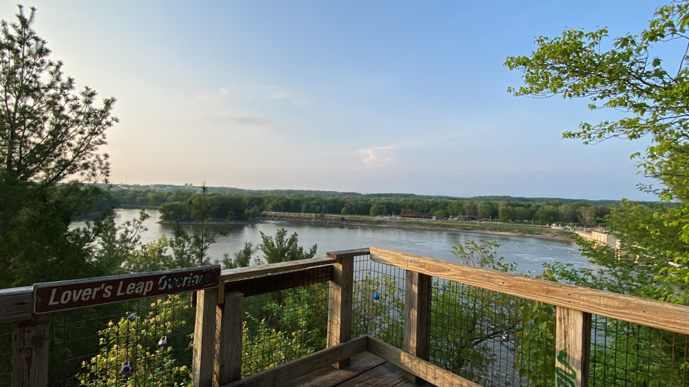
I will start by sharing the end of this trail. The above photo is the location of Lovers Leap.
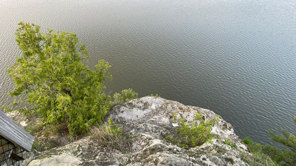
You cannot see very well the distance down, but it is a cool view.
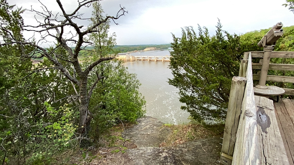
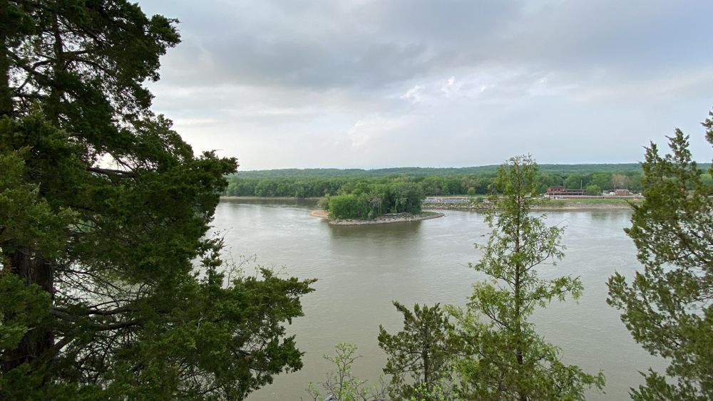
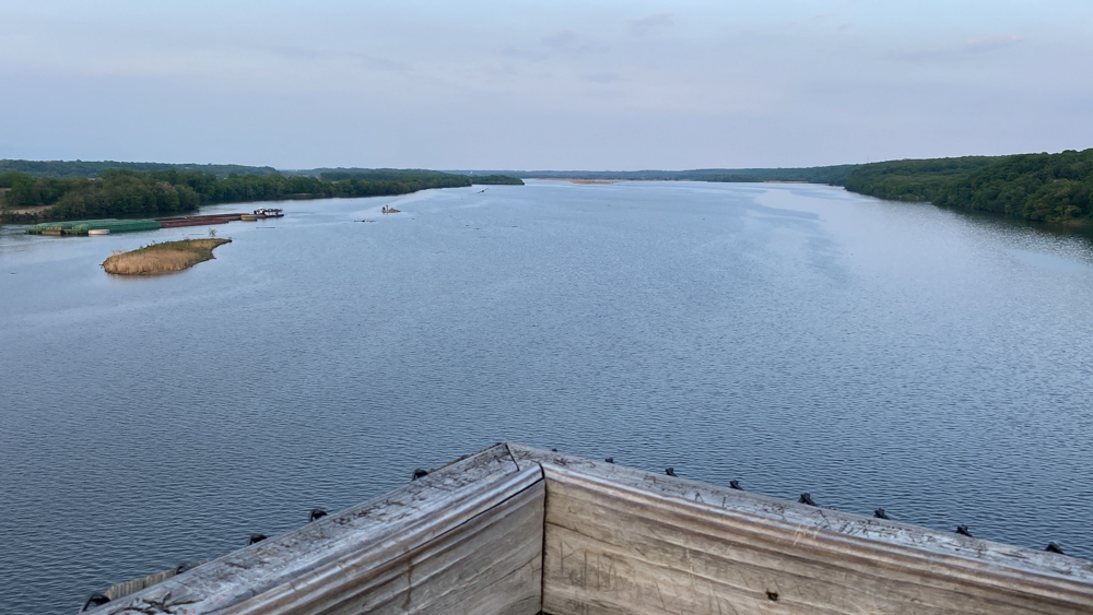
You can see the lock and dam from here.
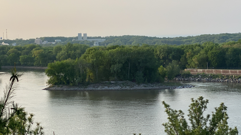
And you can see Plum Island from here as well. There are a lot of geese hanging out there making noise right now.
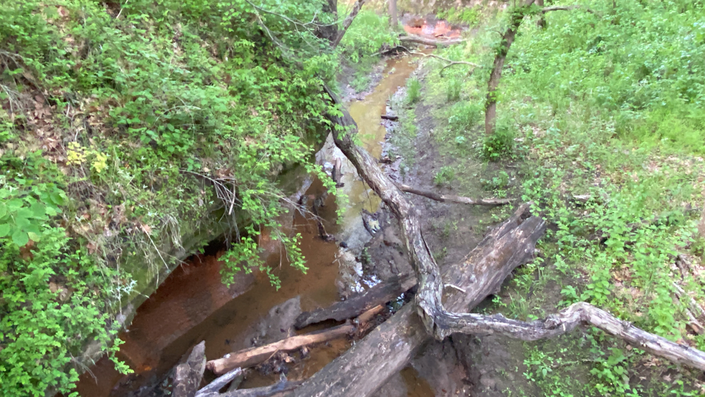
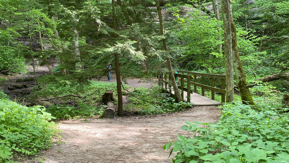
We understood this to be Pontiac canyon and it was cool to look at, but not too impressive. It was along the trail as you went over a bridge.
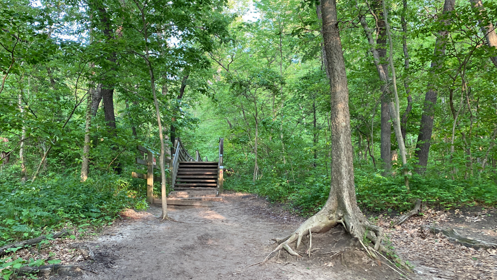
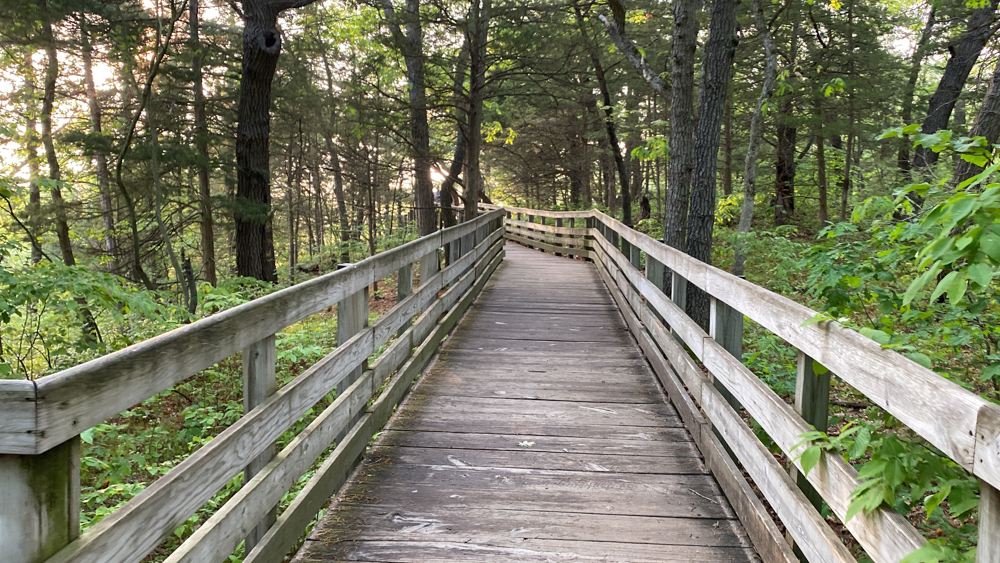
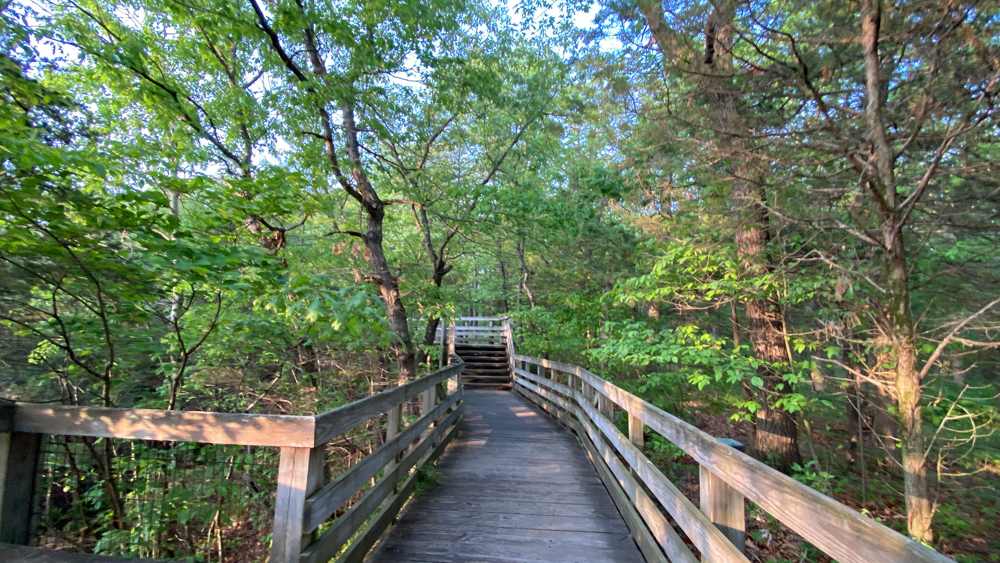
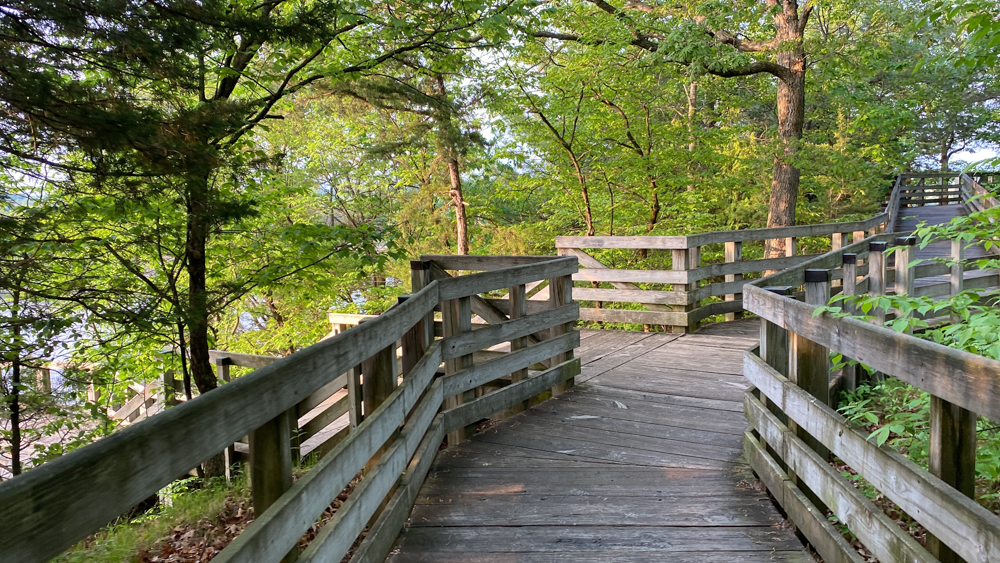
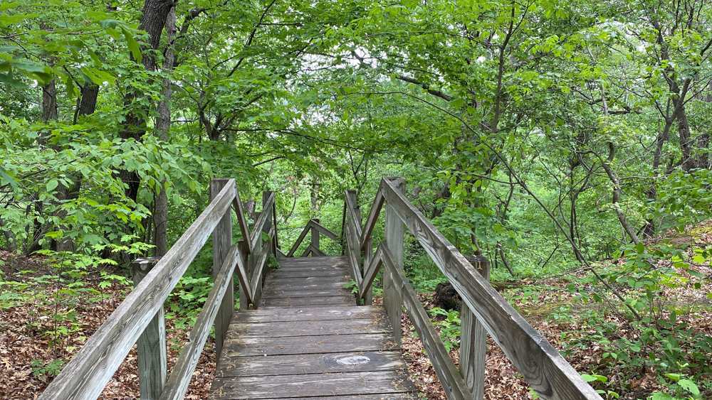
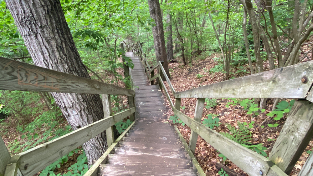
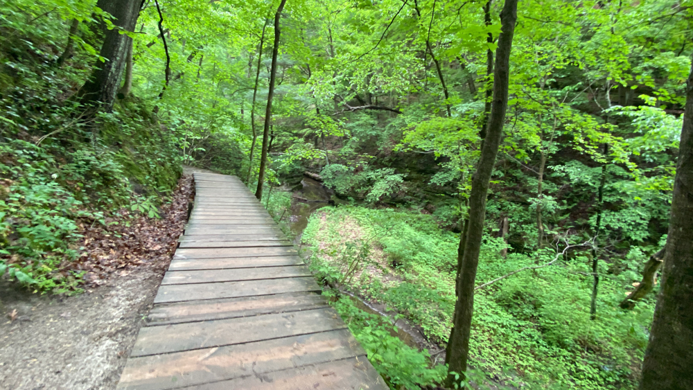
The rest of the photos show that much of the trail is either boardwalk, steps (lots of steps), or wide dirt trail.
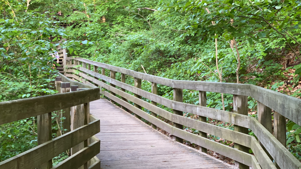
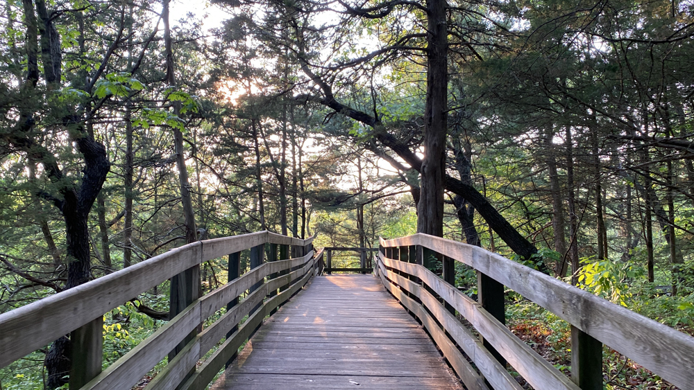
There were several areas to the left to go around about to look at a view and to get right back on the boardwalk.
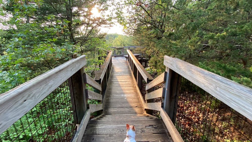
Miss Tizzy looks so cute in this shot!
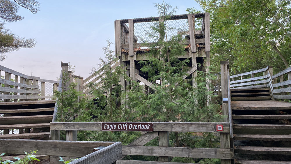
Eagle Cliff Overlook Trail at Starved Rock
This third video is from Lover's Leap to Eagle Cliff Overlook at Starved Rock State Park, and then back to the parking lot. We almost did not make this jaunt because others on the trail said it was just like the rest of the views along the cliff part of the trail, but we were glad that we went. It was getting dark so we returned to our campsite.
I will start with the best photo of Eagle Cliff Overlook and then go back to the beginning. This section is from Lover's Leap to Eagle Cliff Overlook.
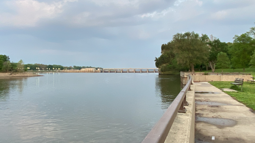
There were several overlook areas right off the boardwalk that gave you yet another view of the lock and dam. The lock and dam almost felt like the key element of this area.
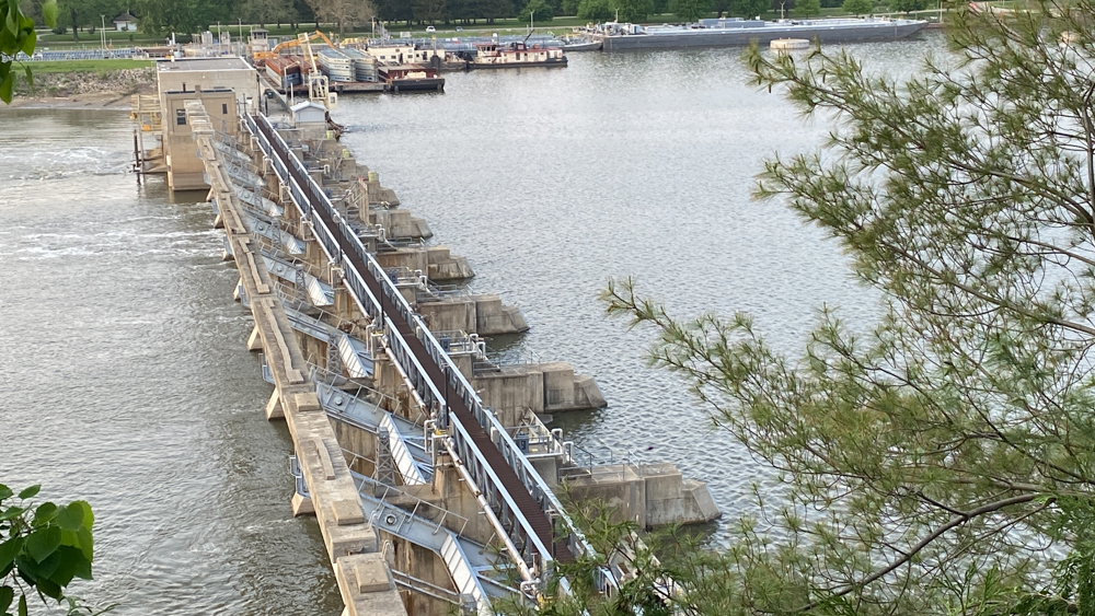
This overlook was a view directly above the lock and dam.
This is as you first enter the overlook, but the decking extends for a big area.
This was a photo taken on the return to the parking lot. We went the same way we came although there is an alternative loop route.
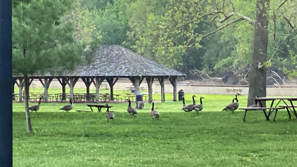
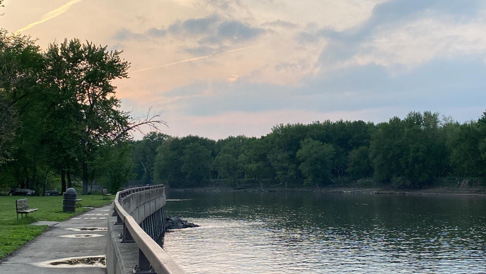
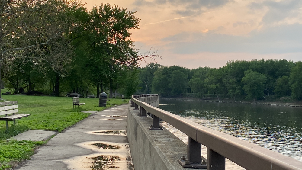
We walked over to the water's edge at the parking lot and there were geese everywhere.
It is like the water is at the same level as the walkway and rather a unique feel to this view and stroll.
The sun was beginning to set and I was hoping for a beautiful sunset, but it was just mediocre.
We had plans in the morning to get up early and hike a trail before the crowds, and then return to make breakfast, but when we began to leave the campground onto Route 71 we discovered that there was a running event that happens annually and we could only turn to the right onto Route 71! The whole park was accessible, but in only one direction on the roads because the other half of the road was reserved for runners. Many said it was a bad weekend to come, but if I were more prepared, I might think it a good weekend to visit because everyone else is staying away from the trails because of the race! Ah! But we were not familiar enough with the roads yet, although we became by the end of the day, so we decided to visit Illini State Park and then work our way back to Buffalo Rock State Park, and randomly found the Starved Rock Lock and Dam | Illinois Waterway Visitors Center to enjoy, and finally to Matthiessen State Park. What a great day we had! We then hiked the St. Louis Canyon trail at Starved Rock before visit main street in Utica for a well deserved meal.
Starved Rock Lock and Dam | Illinois Waterway Visitors Center
We passed by Starved Rock Lock and Dam | Illinois Waterway Visitors Center and as we drove from Buffalo Rock to Matthiessen State Park and I recognized that this was the place to view Starved Rock from the ground that is often seen in a lot of photos. It is really a unique place. Of course, the lock and dam that is seen from the bluff while hiking in so many overlook views is also here on the ground. I was happy to have found it by happenstance.
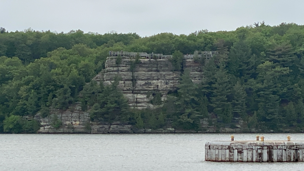
We we first arrived I saw the boardwalk at the top and thought it was Starved Rock and got all excited. Then I realized that this was the Eagle Bluff overlook, which was awesome as well.
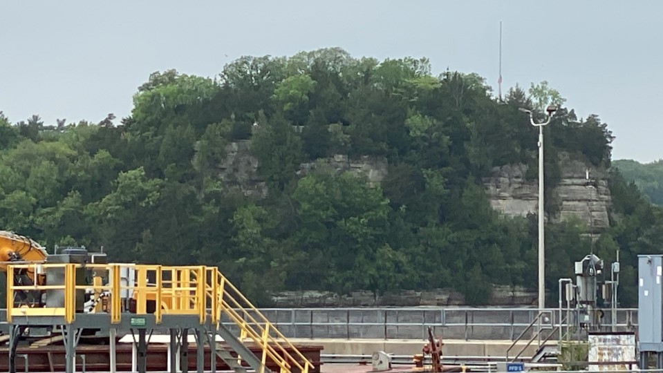
I realized Starved Rock was too the right and the lock and dam was in my view.
We went exploring and found the Illinois Waterway Visitors Center just down the road, which was open, and we were able to walk behind it to get a better view.
I will have to try to edit one of my photos that I took with my big camera to see if I can make the photo better, but for now, I just want to get this website page done.
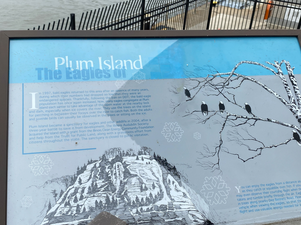
This is when we realized the name of Plum Island as they had a sign.
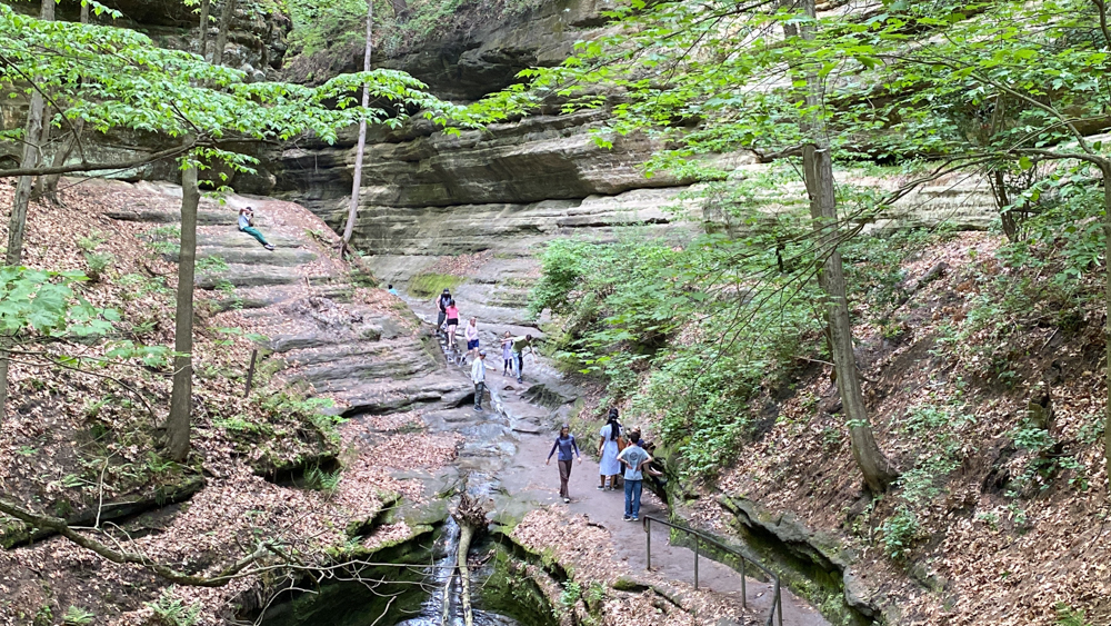
St. Louis Canyon at Starved Rock
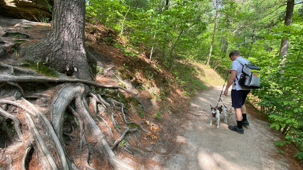
We sure were testing our physical bodies by this time, as well as those of our dogs. We took off for St. Louis Canyon and we were glad that we did go.
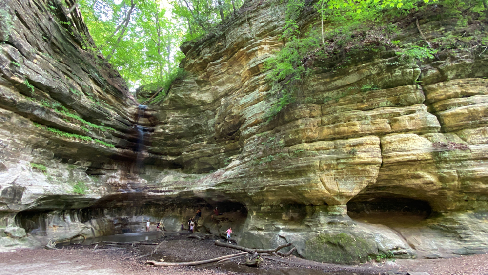
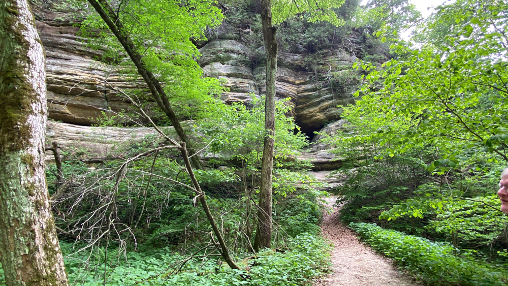
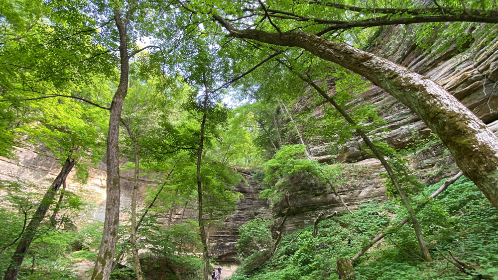
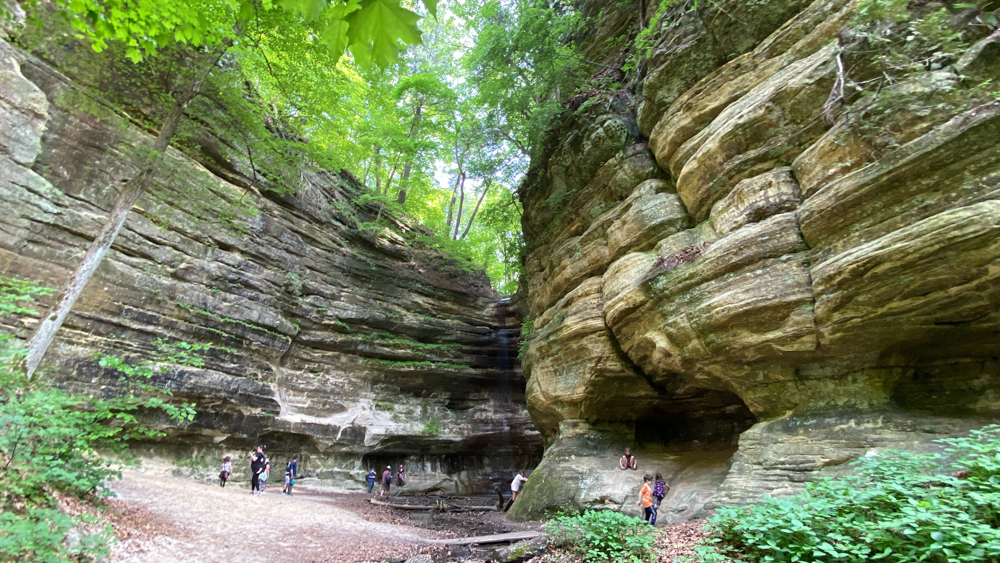
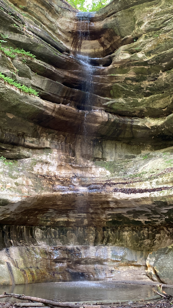
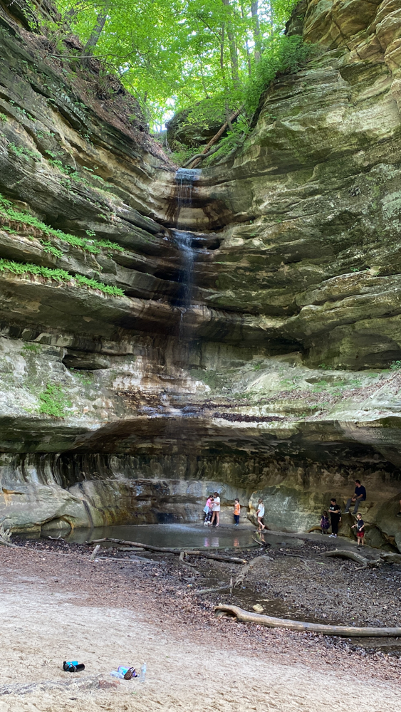
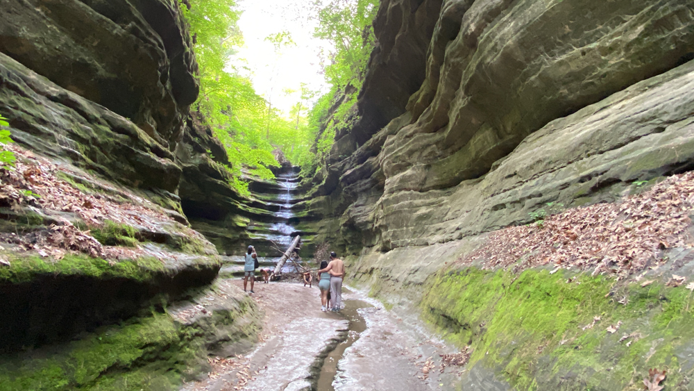
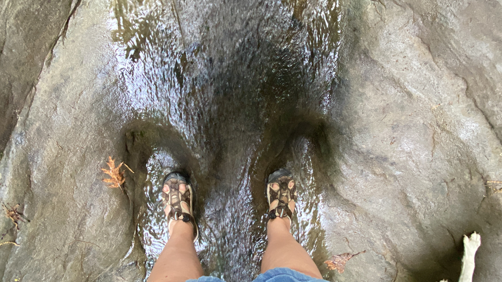
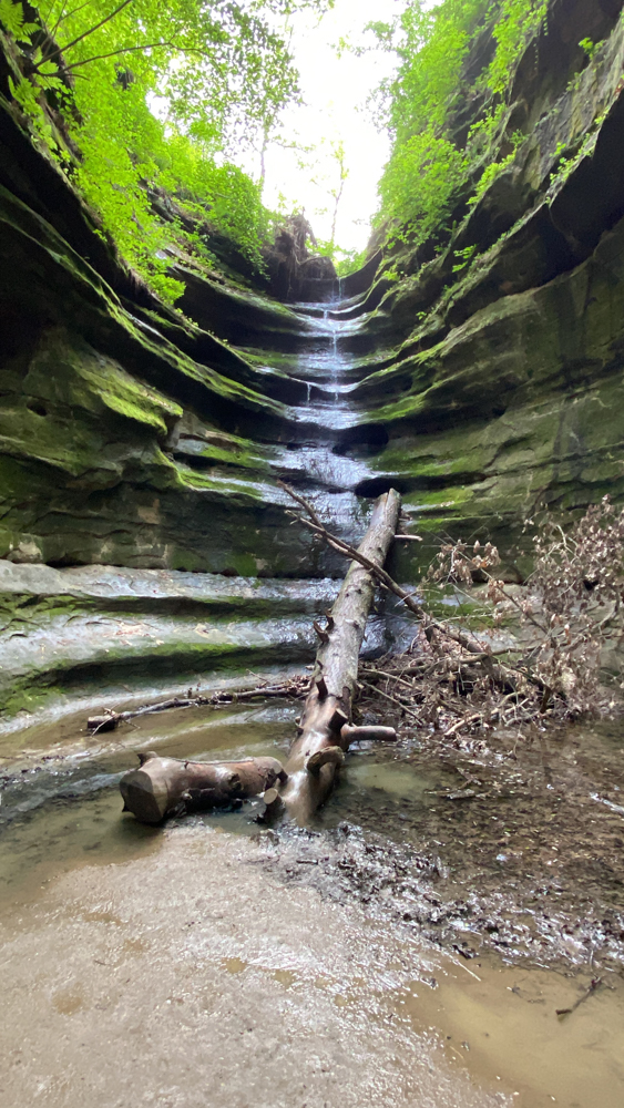
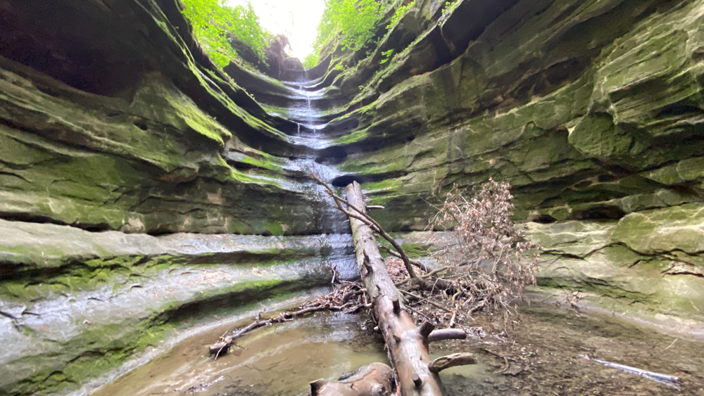
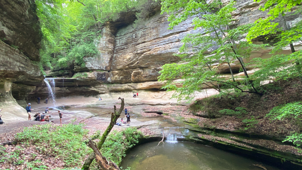
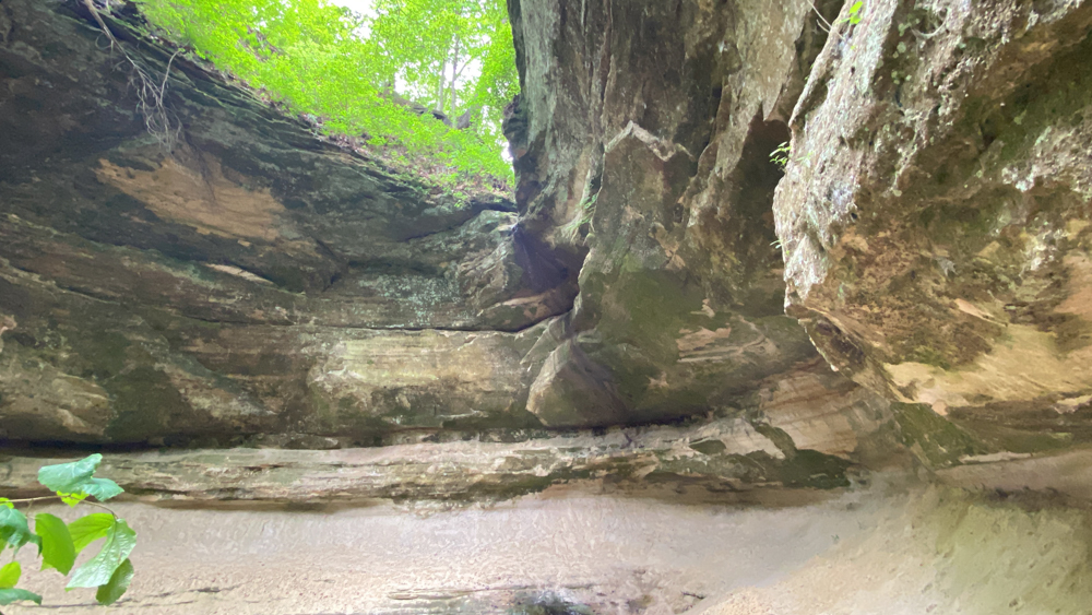
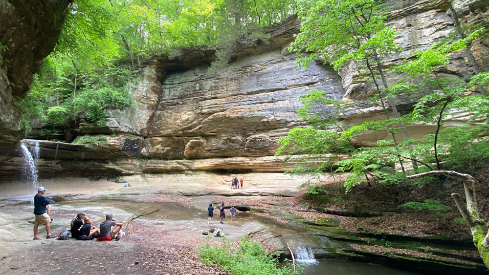
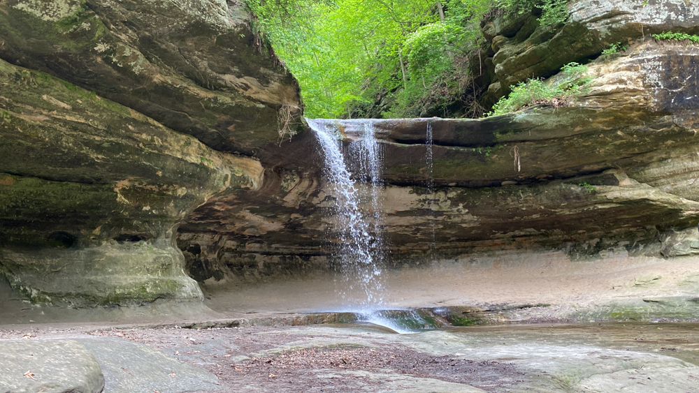
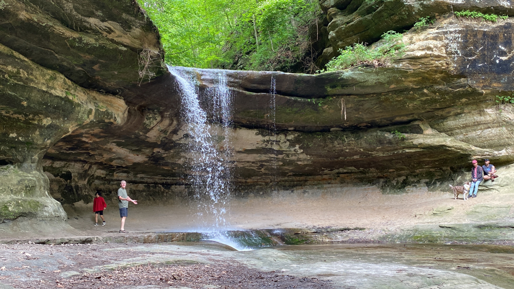
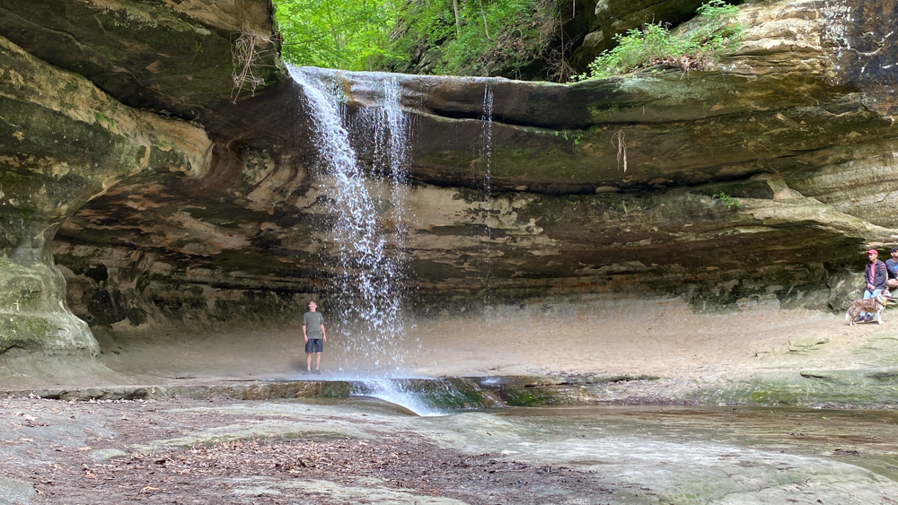
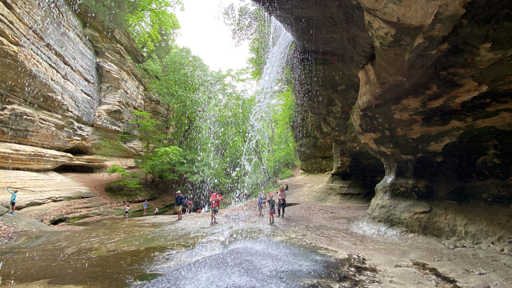
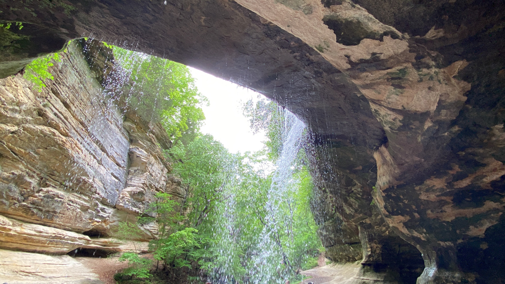
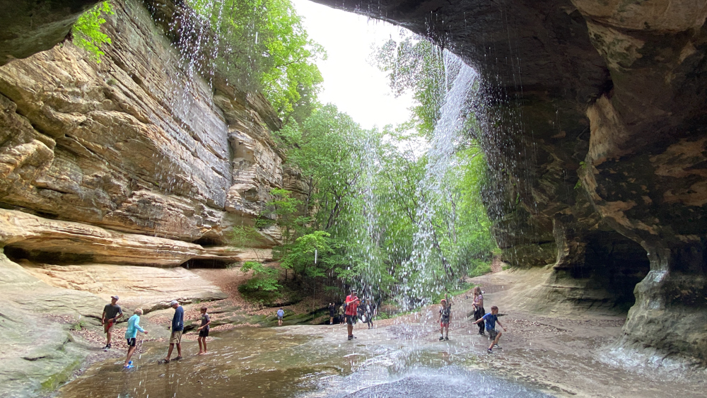
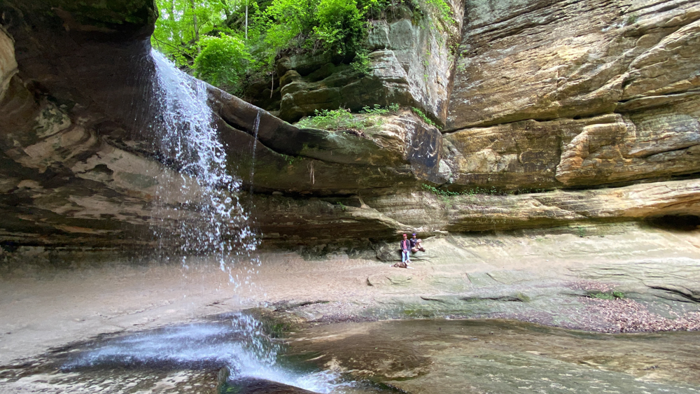
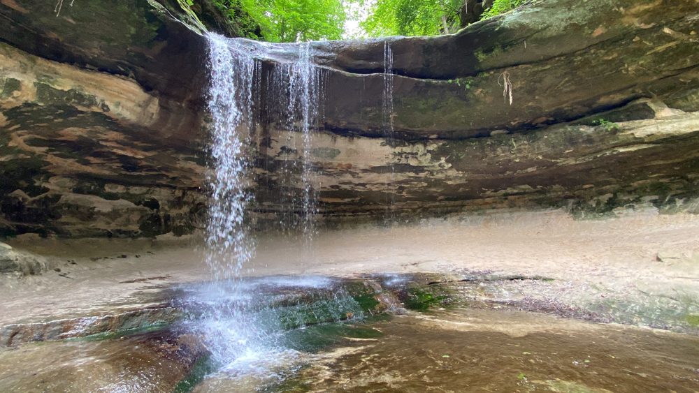
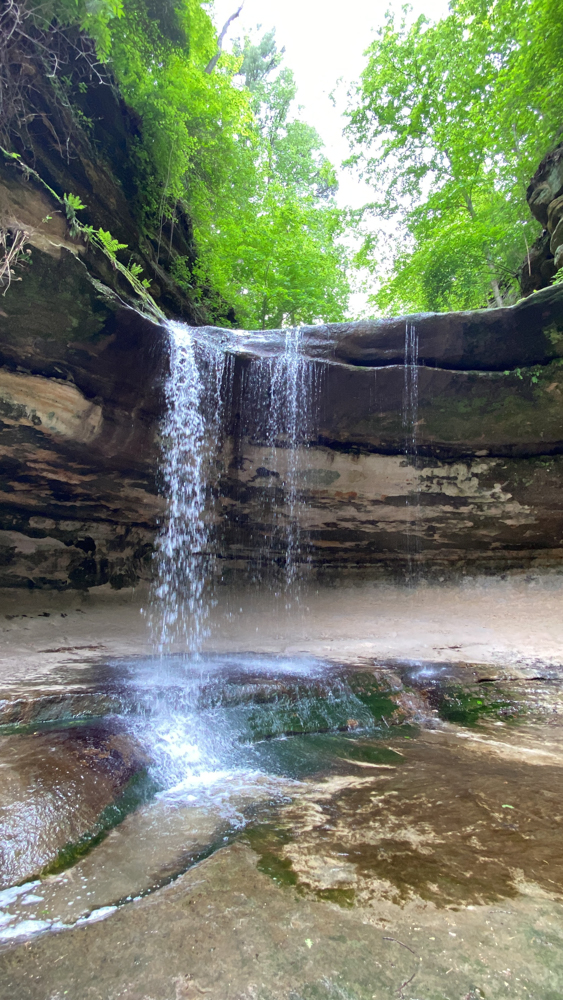
St. Louis Canyon contains an amazing waterfall which is rather tall with mini cave-like entries to the right.
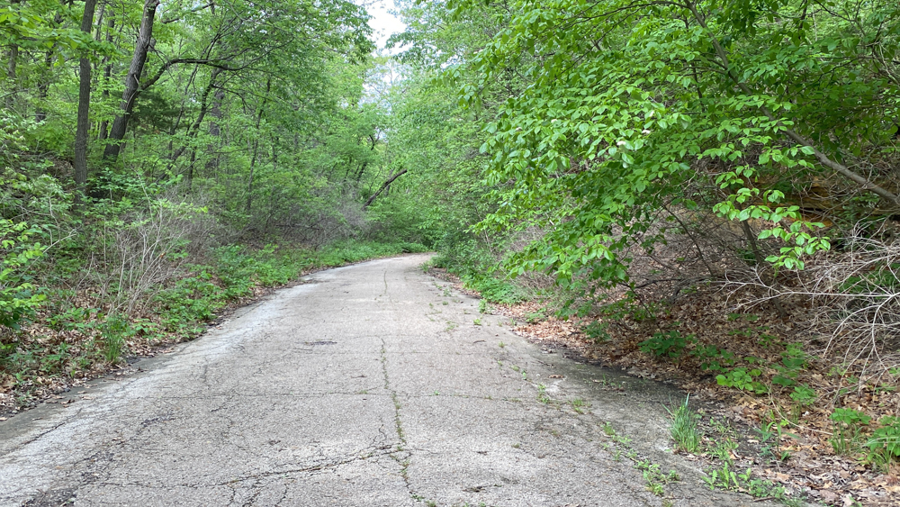
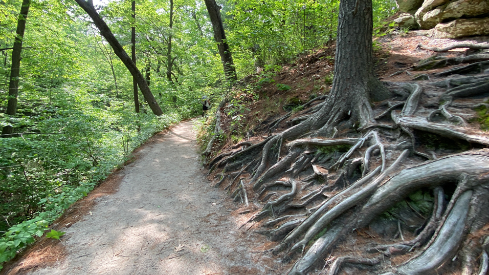
You can walk from the museum parking lot which is 1.5 miles there and then the same back, but we started at the parking lot along Route 178. It was interesting to be walking on a old road that I recognized from the 1970's that was dilapidated and included the oldtime guardrails.
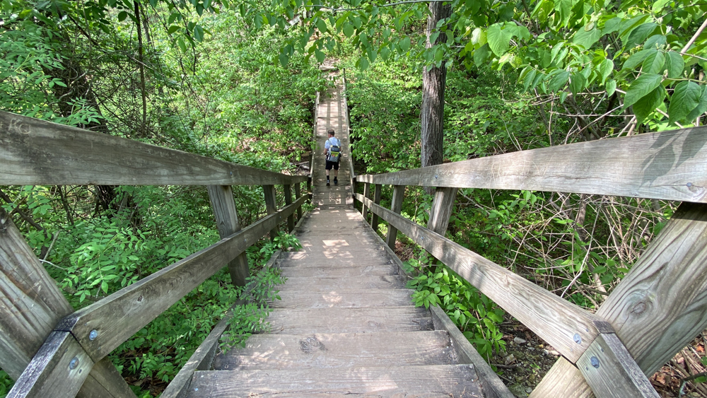
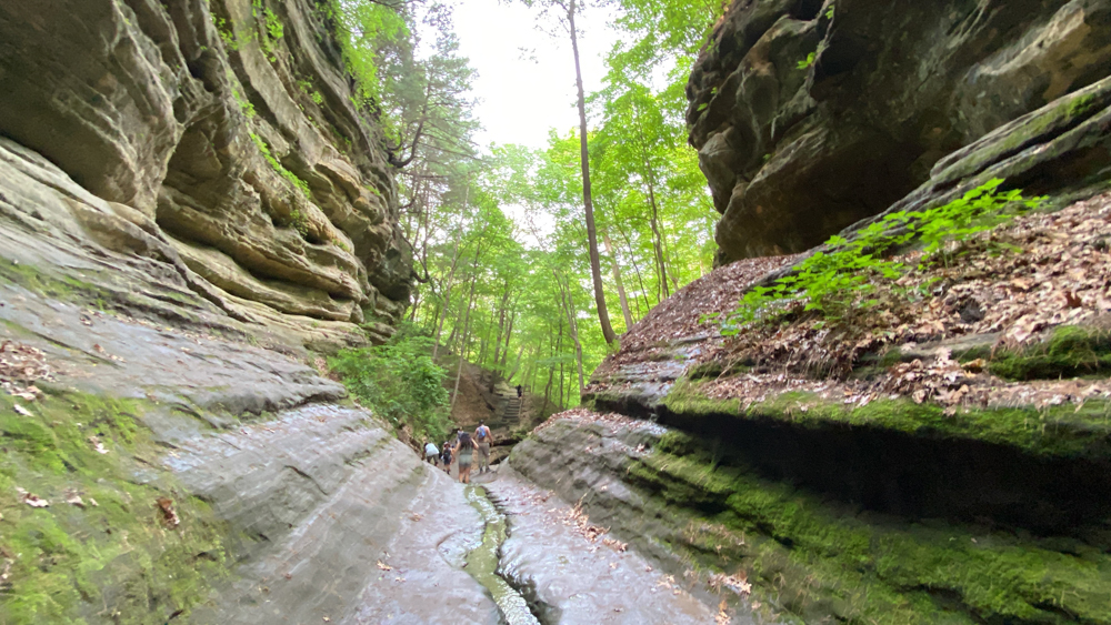
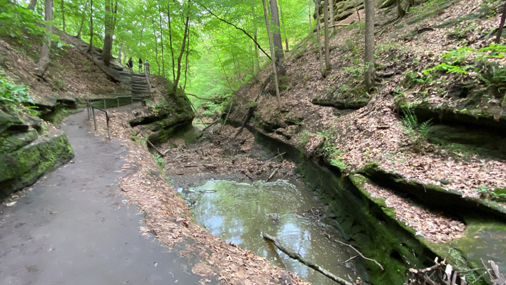
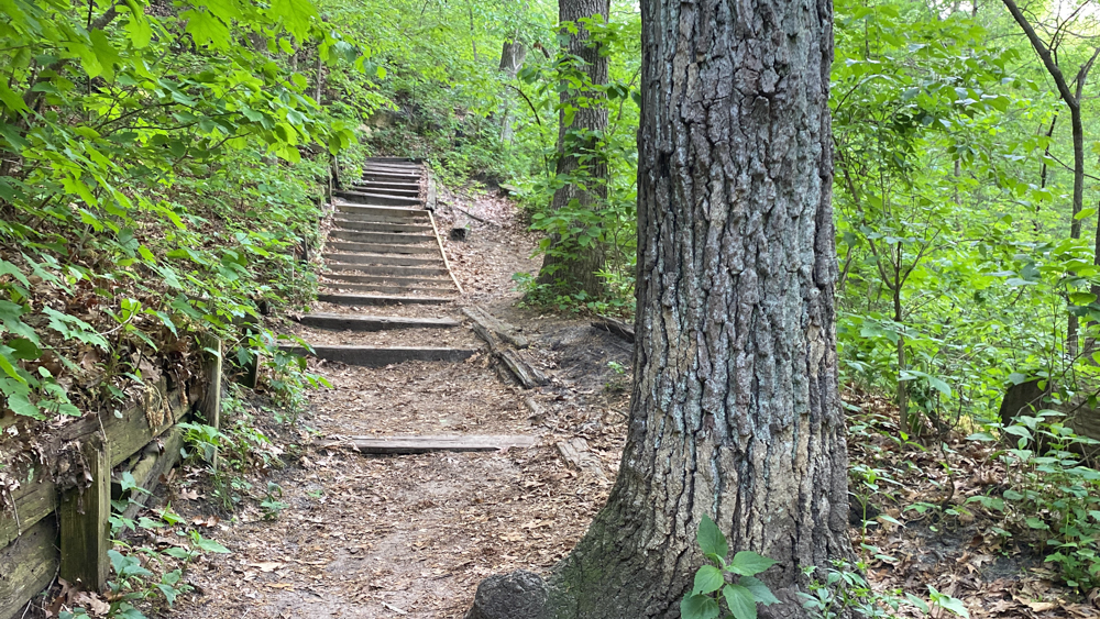
As with all of the trails, there are lots of stairs and boardwalks. The theme at Starved Rock State Park is that to get into a canyon, you must go down into the canyon. And if you go down, you must come up.
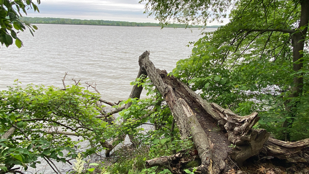
This tree was kind of gnarly cool.
I spied lots of poison ivy on ALL of the trails and I tried hard not to touch anything green, but sometimes the green really creeped in narrowing the space.
This is the first glimpse of the canyon in the distance.
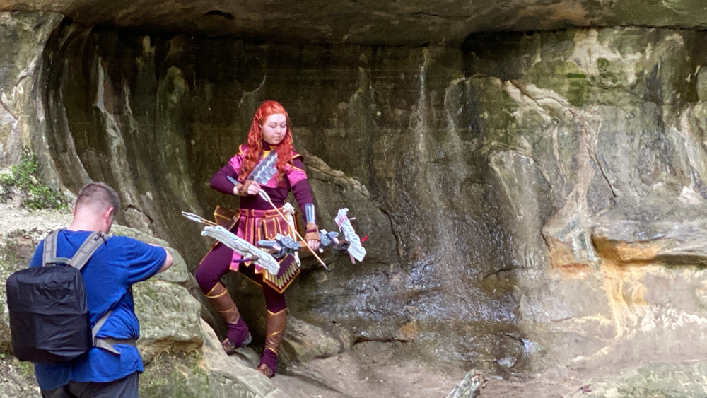
This lady and her photographer had walked into the trail right before us for a photo shoot and I just loved her outfit. I did not know what character she was portraying.
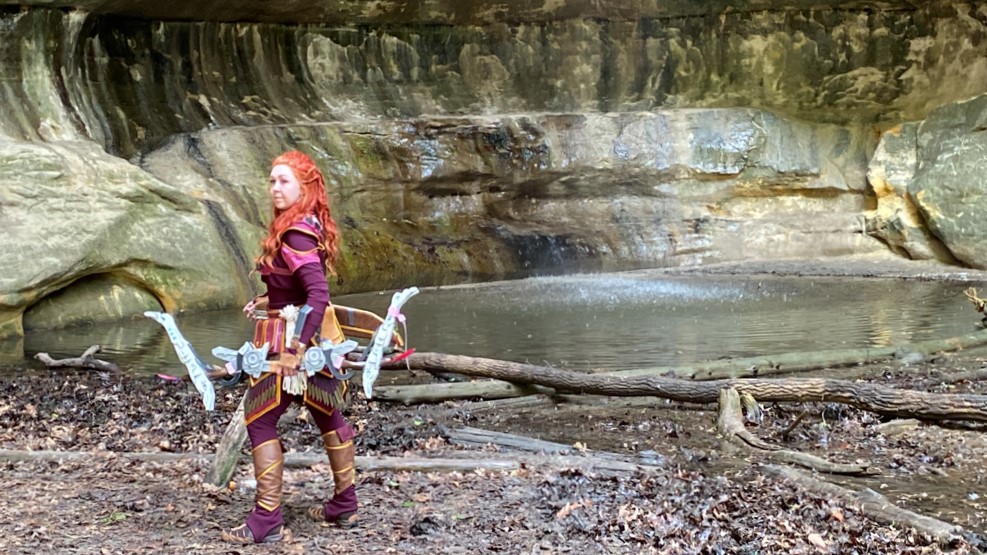
I really wanted to stand by her photographer, or behind him, and get some shots of my own. I took a few cell phone photos through video.
French Canyon at Starved Rock and Historic Unica
Exhausted from a long day, but pushing ourselves, we wanted to see as many of the canyons and waterfalls as possible, so late in the day we hiked to French Canyon. We decided to start from behind the lodge, but after all the winding stairs, we were not certain that it was any shorter.
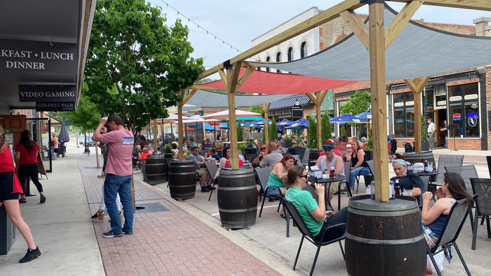
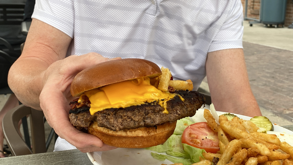
Afterwards we followed a tip and headed 2 miles away to the historic downtown Unica for dinner. We had learned that during Covid19 times they had closed the indoor seating, closed the street, and moved all seating outside so they could continue their business. It was liked so much that every May through October they continue the new tradition. We enjoyed the outdoor area and walking down the street as well as our dinner.
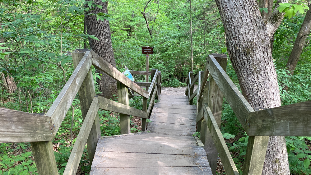
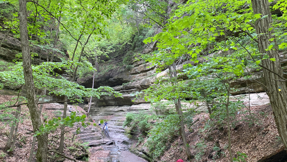
The map showed we were directly above the canyon, but it sure took us a while to wind down into French Canyon. It was worth it though.
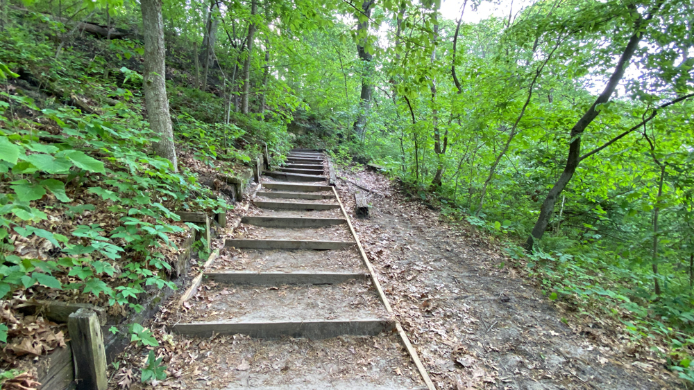
The final steps down into the canyon are carved in rock.

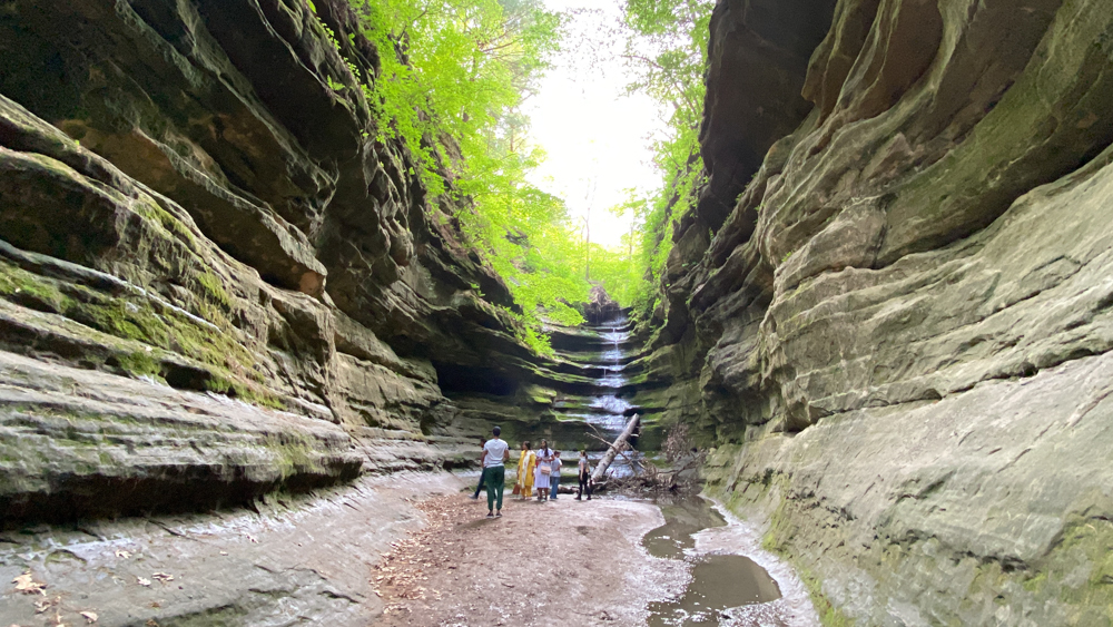
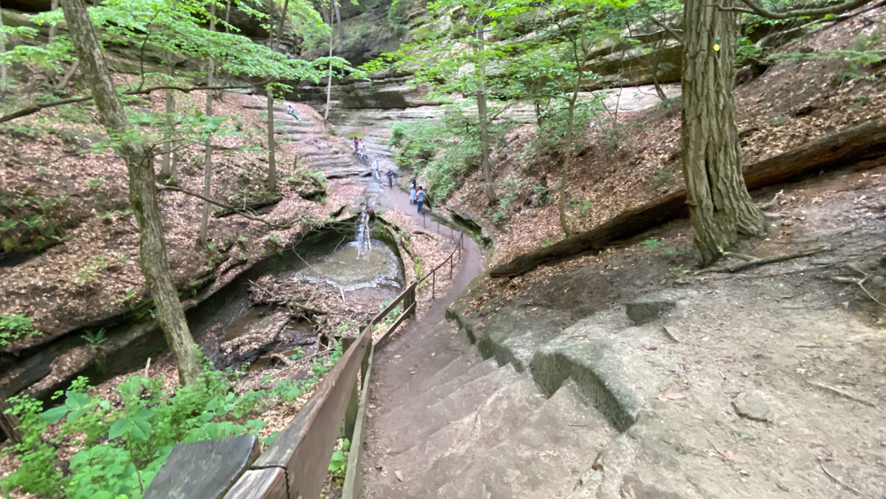
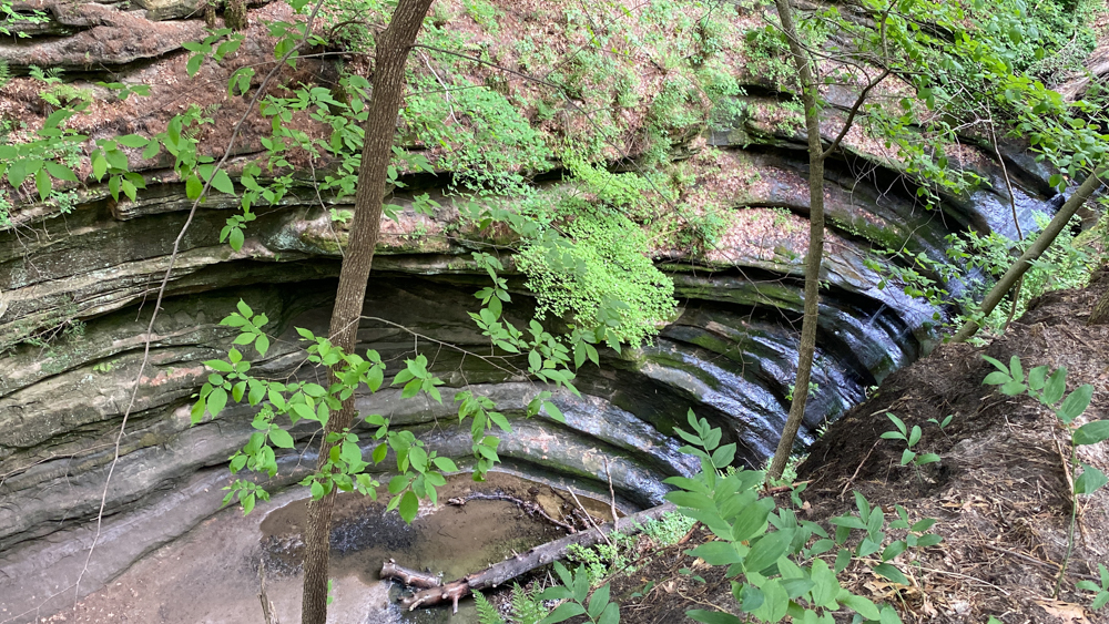
This photo is looking back out as I turned around to leave. You can see how the waterfall's water flows through the wide crack in the rock.
There is a small waterfall at the bottom right of this photo as it flows into this pool. This is what you see when you first come down the rock stairs on the upper left of the photo.
Along the trail coming down is a sign, and if you look below you can see the canyon and waterfall, but it is still a bit of a distance downward until you find the entrance to walk into the canyon.
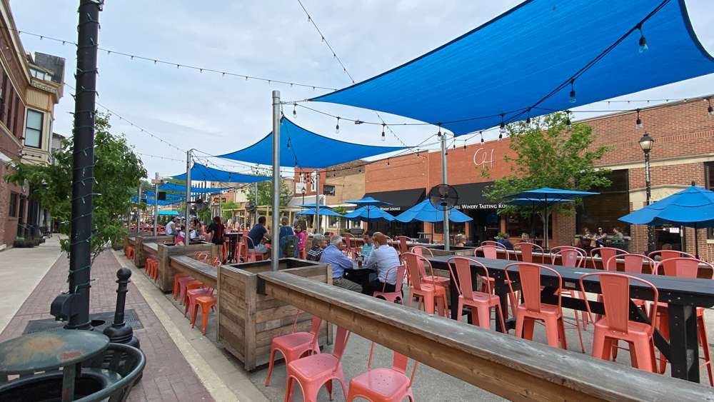
This is downtown Unica two miles away where we went to eat dinner outside.
Owl Canyon and LaSalle Canyon at Starved Rock
The next morning on Sunday was Mother's Day and we had planned to do three hikes before driving home, but we only did one as the dogs could take no more hiking, plus I had plans to visit with my Mom in St. Louis County and needed to get on the road.
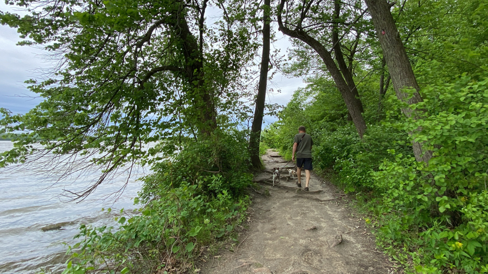
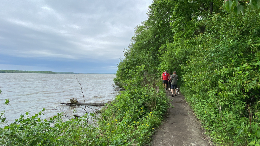
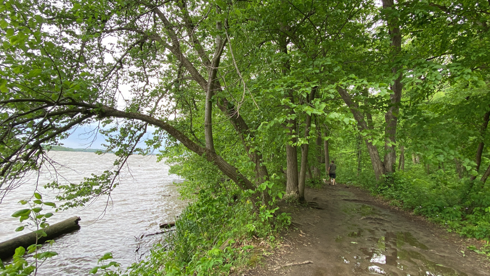
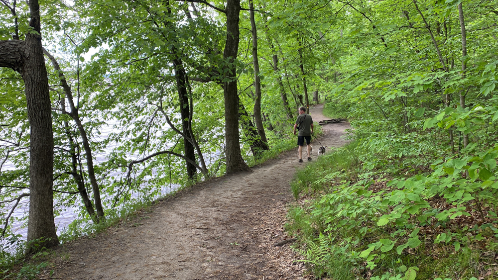
We really enjoyed this hike as it followed the Illinois River. The River Trail is all throughout Starved Rock, so I would recommend catching it in other areas too.
Lots of steps again!
This was owl canyon. It was quiet a difficult walk to get over to it.
I found the River Trail to be enjoyable and it stretches for quiet a distance between trails. I was glad that we got to experience it.
Hubby joked that this looked like someone was making a dugout canoe.
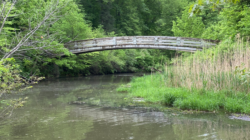
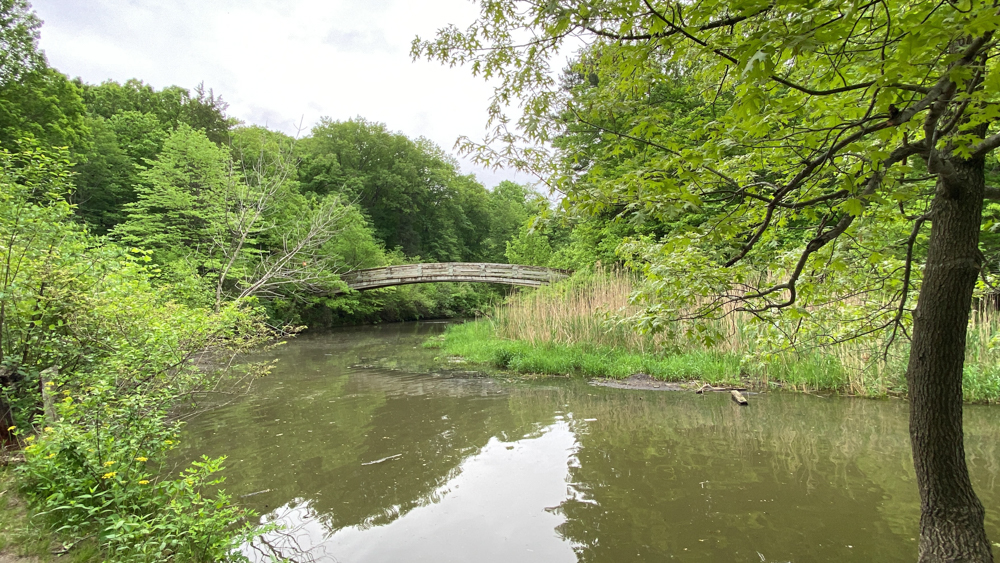
This bridge takes you to Wildcat Canyon, which is the largest waterfall, but also goes by Lonetree Canyon and Basswood Canyon before you get there. You have to turn right to go over the bridge. Wildcat Canyon is also obtainable from the museum parking lot.
There are two waterfalls at LaSalle Canyon. Tonti Canyon was nearby on the map and we did not see it.
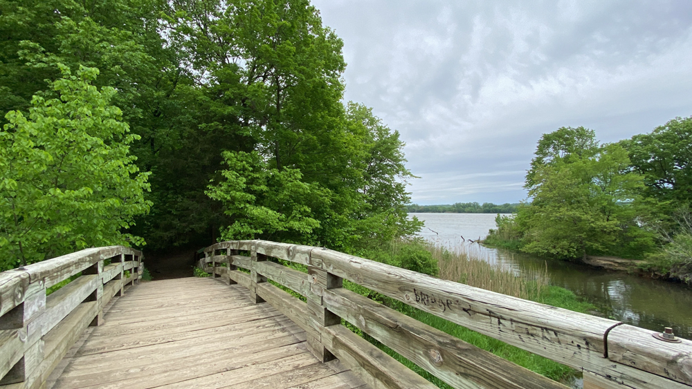
This is the view over the bridge leading to Wildcat Canyon and the water flowing into the Illinois River.